Our last walking holiday in the Cinque Terre was chosen by Tracy, so it was my choice this time round.
I selected Norway’s Lofoten Islands, also with HF Holidays. We booked their penultimate trip of the season, from 26 August to 2 September.
While the UK endured successive heatwaves, summer in northern Norway had been unusually wet.
We hoped for much better conditions as the season drew to an end, but experienced a mixed bag of sun and rain. The rain was mostly light and showery rather than heavy or prolonged.
There were 23 people booked on the holiday, including six couples and eleven solo travellers, the majority of them female. The group gelled rather better this time, mostly seeming to enjoy each other’s company.
Unusually, we had two English guides: Katie and Kevin. Katie had been in Lofoten throughout the previous week; Kevin arrived with us and was covering that week only.
HF now relies on local guides (or, more properly, resident guides) for virtually all of its walking holidays, and there will be resident guides in Lofoten from next season.
Unfortunately, we lost Katie to injury halfway through the holiday, and she couldn’t be replaced.
I describe that incident below.
The published itinerary had outlined two walks per day: one easier; one more difficult. But, with a single healthy guide, that was no longer possible.
The first two walking days operated as planned. Both walks were abandoned on the third walking day. On the two remaining walking days, only the easier walk was available. The harder options would have been beyond the capacities of several of our group.
This inevitably placed an enormous burden on Kevin. He rose magnificently to the challenge, continuing to provide the best possible walking experience while also supporting his injured colleague, as well as liaising with HF, the Hotel and Lofoten medical services over the incident and its consequences.
The Voyage Out
The distance by air from London to our base in Svolvaer is only about 2,000km, but the journey is long and complex, involving two flights and an extended coach transfer.
We left home by taxi at 07:00, adding extra time in case of traffic congestion on our relatively short journey to Terminal 2 at Heathrow Airport.
Our flights were provided by SAS, which offers online check-in 30 hours prior to take-off. Although we could reserve seats on our second flight, that wasn’t possible for our first, nor were boarding passes supplied for our first flight until we had scanned our passports at the Airport.
We navigated the automated check-in, bag drop and security without incident.
Breakfast was supplied by Bill’s – in my case, scrambled egg on sourdough with streaky bacon, and a black americano on the side. It was edible, but not up to the standard of other Bill’s restaurants.
We also bought baguettes from Prêt à Manger, knowing that time would be scarce during our transfer.
Our first flight, from London to Oslo, was scheduled for take-off at 10:35, but pushed back to 10:50 owing to ‘a technical fault in Oslo’. In the event, we took to the air at 11:15, the captain advising a flying time of 1 hour and 45 minutes.
We have previously found that HF struggles to secure adjacent seats for couples. For reasons unknown, Tracy and I were again placed in different rows, even though the two seats next to her were vacant!
I asked permission to move, which the stewardess kindly permitted, expressing aloud the thought that I might otherwise be scared. This seemed unduly passive-aggressive, but I confined myself to remarking that I very probably would.
We landed at 14:00 Oslo time, 15 minutes later than scheduled. That left exactly one hour in which to join our second flight, also with SAS, from Oslo to Narvik.
It turned out that our first plane had disgorged us at the stand immediately adjacent to the one used by our second.
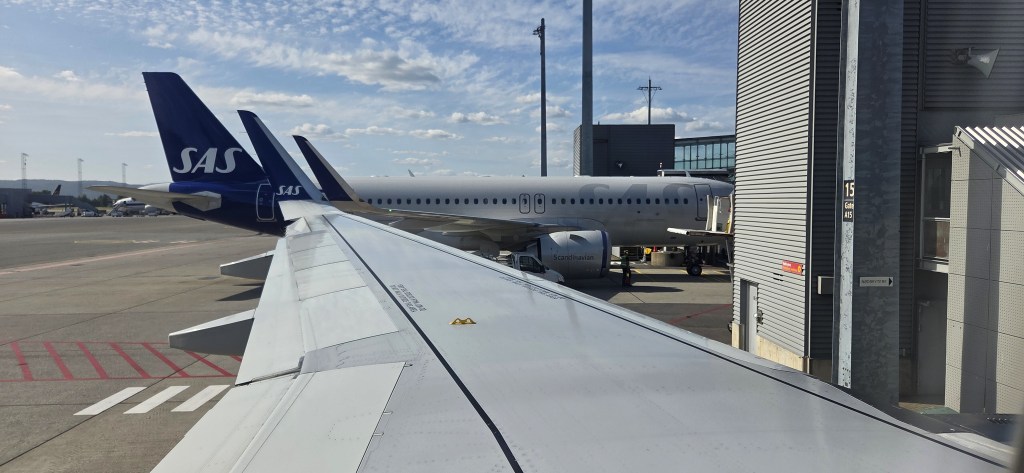
But, though our luggage had little distance to travel between holds, we were whisked into a coach and transferred some distance, to Arrivals.
After which we passed through customs, our photographs and fingerprints taken while we stood at the officers’ booths. The fingerprints had to be from the right hand (I checked) and exclude the thumb.
Security asked us to remove full water bottles from our luggage, the official then decanting them into a large receptacle. One can now pass through security at Heathrow with a plastic bottle of water, but that is still not possible at Oslo.
This meant we had to waste time finding a water refill station before hurrying to our departure gate, some considerable distance away.
We sped as swiftly as we could through the extensive airport shopping malls, thronged with idling travellers, reaching our gate some 10 minutes before the advertised departure. Others were slower, the last of our group joining the plane with less than two minutes to spare.
But we didn’t take off until 15:18, so all that hurrying was in vain. Even so, we landed at Narvik on time, at 16:40.
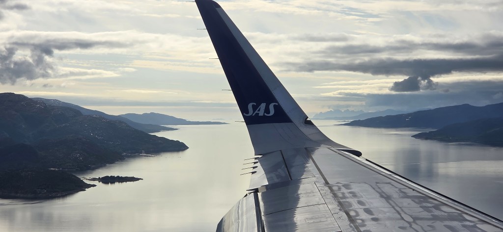
On the descent into Narvik, passengers were warned that photographing the Evenes Air Station is prohibited.
Evenes shares Narvik’s runways but belongs to the Royal Norwegian Air Force, supplying their main base in northern Norway.
In 2012 it was designated a forward base for Quick Reaction Alert, providing 24/7 readiness for NATO via two F35 stealth fighters. It also hosts a fleet of Boeing B-8 Poseidon maritime patrol and reconnaissance aircraft, which monitor the Barents Sea and the northern part of the Norwegian Sea.
In April 2024 a critical communications cable was severed just outside the base’s perimeter. No suspects have been identified or charged for this act of sabotage.
Despite the proximity of our two planes at Oslo, five people’s luggage failed to reach Narvik and had to be forwarded the following day.
(We learned subsequently that the final group of the season, arriving as we departed, found that none of their hold luggage had reached Narvik. This is particularly problematic for those on a walking holiday, not least since those who depend on poles must stow them in their cases.)
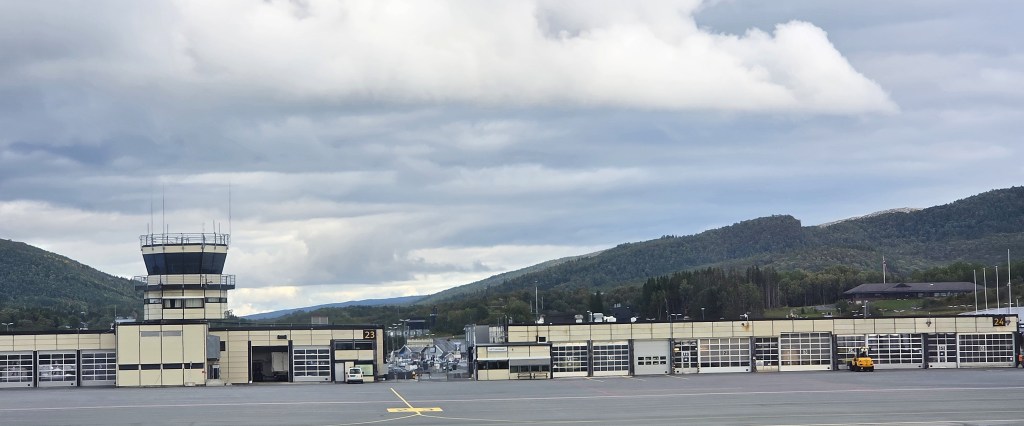
Narvik Airport is a charming little facility, but I wouldn’t want to be stranded there for any length of time.
We were installed on our coach by 17:30, ready to begin the marathon transfer to Svolvaer. It is so long that HF omits its duration from the published ‘trip notes’ for this holiday.
Our journey was further extended by major roadworks along the E10, the road connecting Narvik Airport with the Lofoten Islands. It runs almost their full length, concluding in the village of Å. The other end is at Luleå in Sweden, the total distance being 880km.
The Lofoten section already incorporates many bridges and tunnels. A five-year improvement project began in 2023, involving the construction of 82km of new road, about 27km of which runs through seven new tunnels. Twenty-two new bridges are also under construction.
We spent an additional 15-20 minutes waiting to pass through different roadworks.
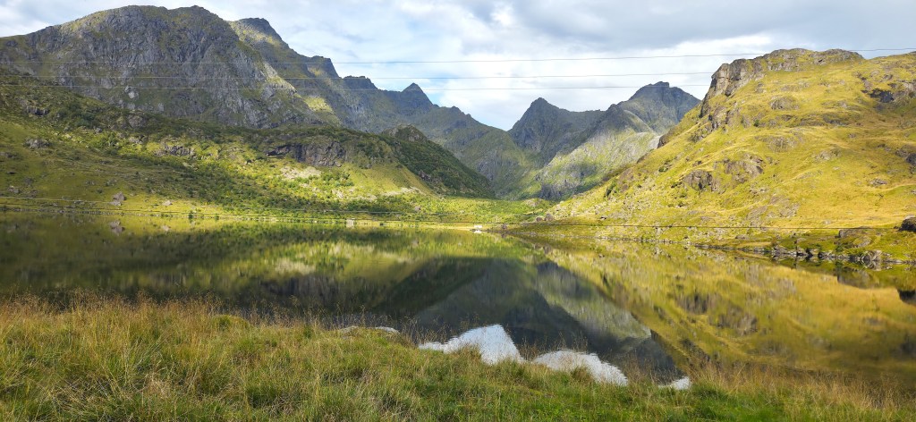
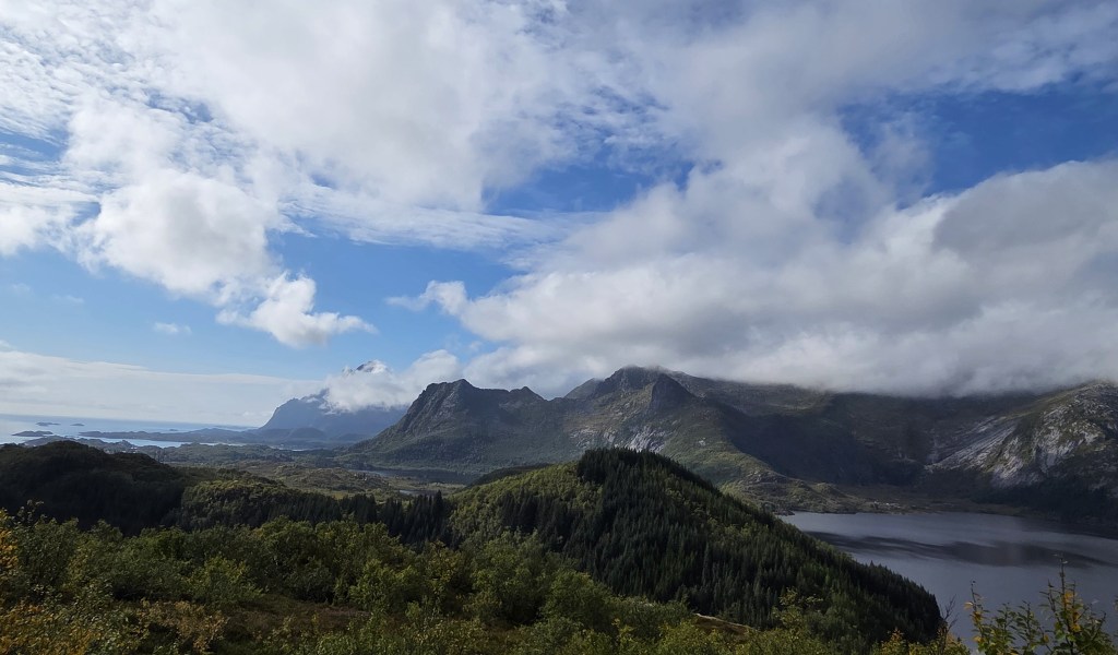
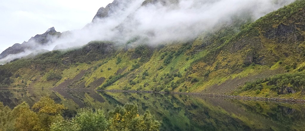
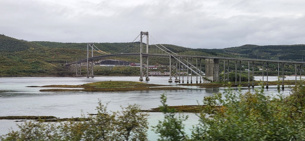
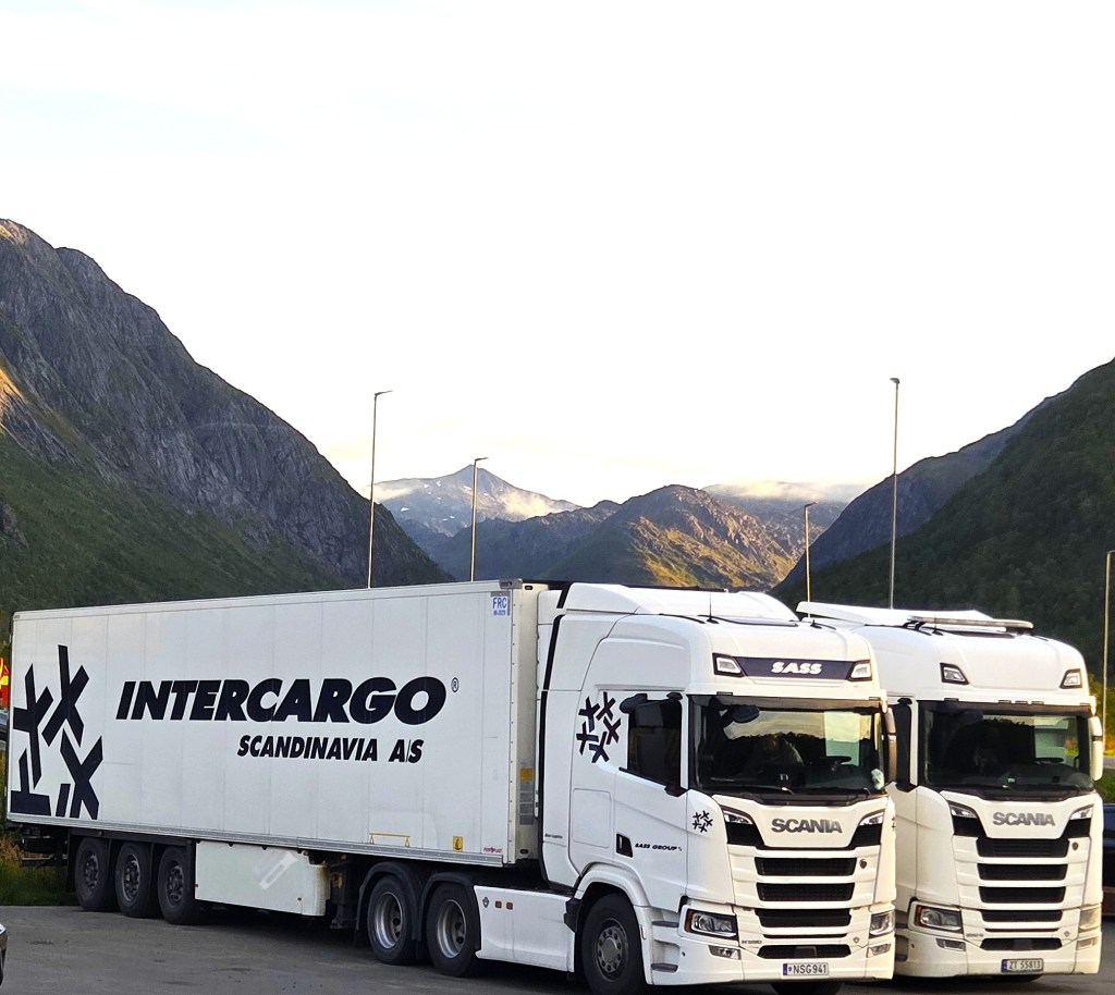
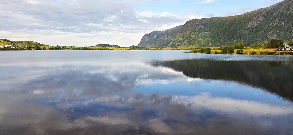
But we had good weather, so the passing landscape was outstandingly beautiful, especially after we crossed the 290m Tjelsund Bridge, between the mainland and Hinnøya, the first of Lofoten’s islands
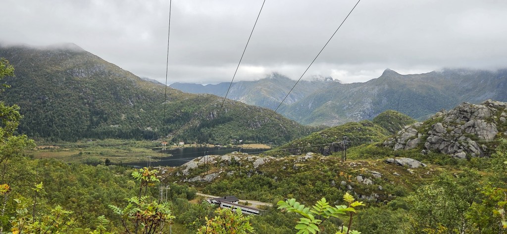
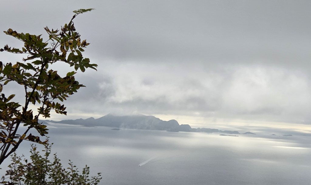
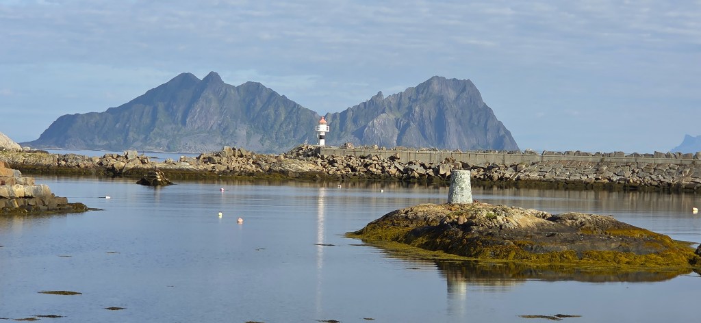
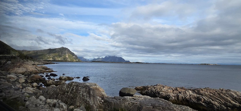
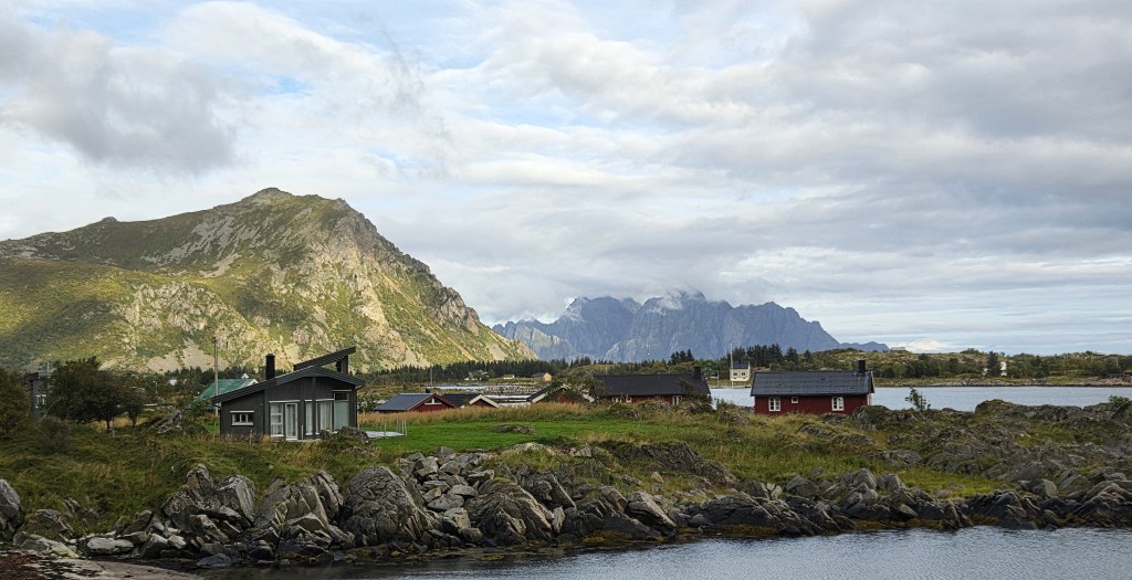
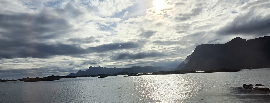
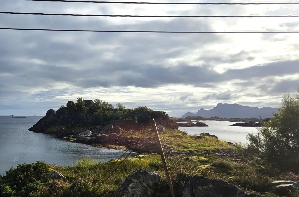
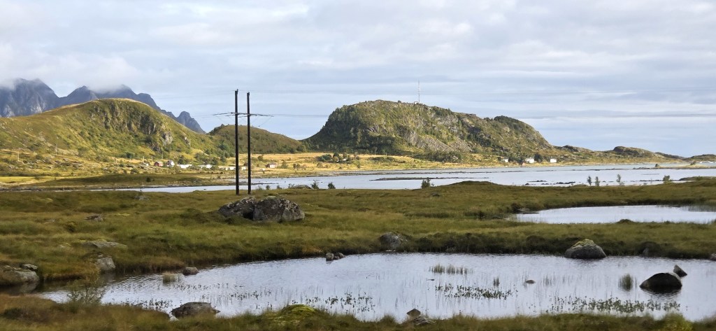
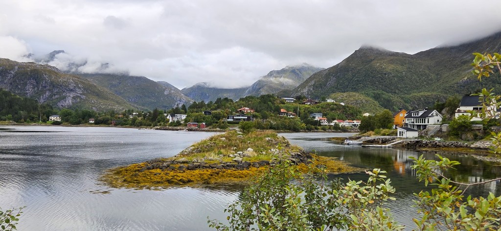
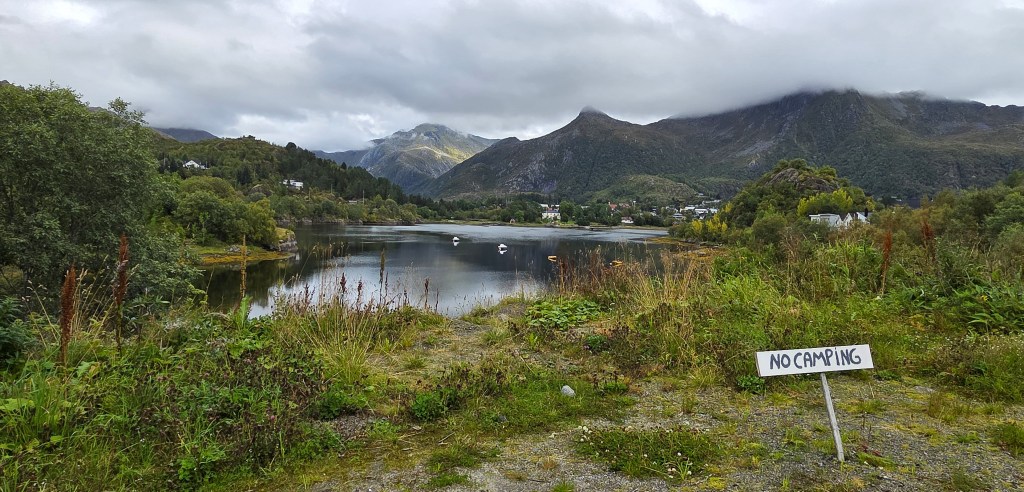
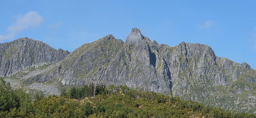
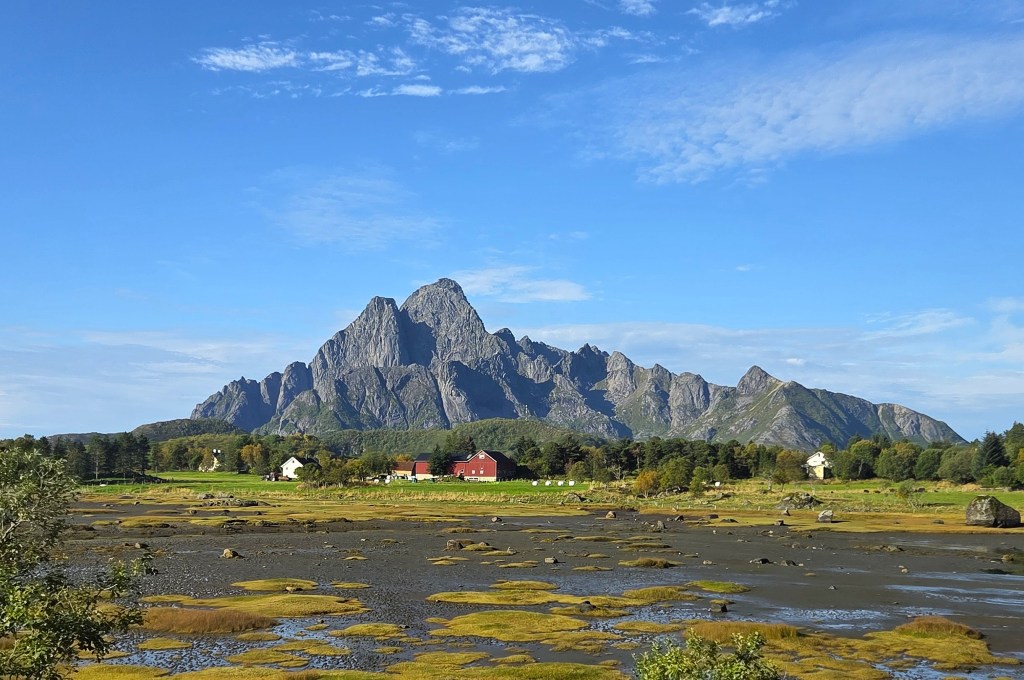
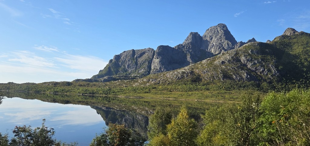
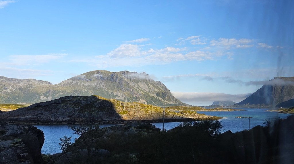
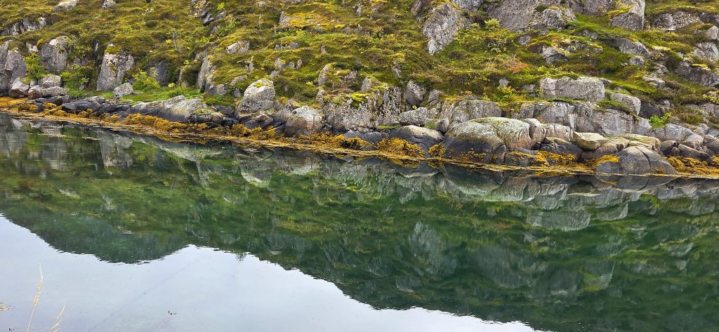
Photographs taken from our coach, during our various journeys along the E10, are interspersed throughout this post.
We interrupted our journey for a comfort break, at what must be one of the most beautiful toilet stops in the world, known at Gullesfjordbotn, adjacent to Gullesfjord Kontrollstasjon, on Hinnøya.
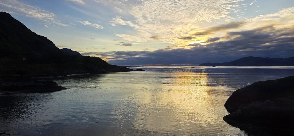
By 20:30 we were approaching Svolvaer, with twilight closing in. Pulling up outside our Hotel, we descended stiffly, but were immediately handed our room keys. There was little time to unpack or refresh before dinner was served at 21:00.
Lofoten
The Lofoten archipelago, about 250km long, projects south – westwards into the Norwegian Sea.
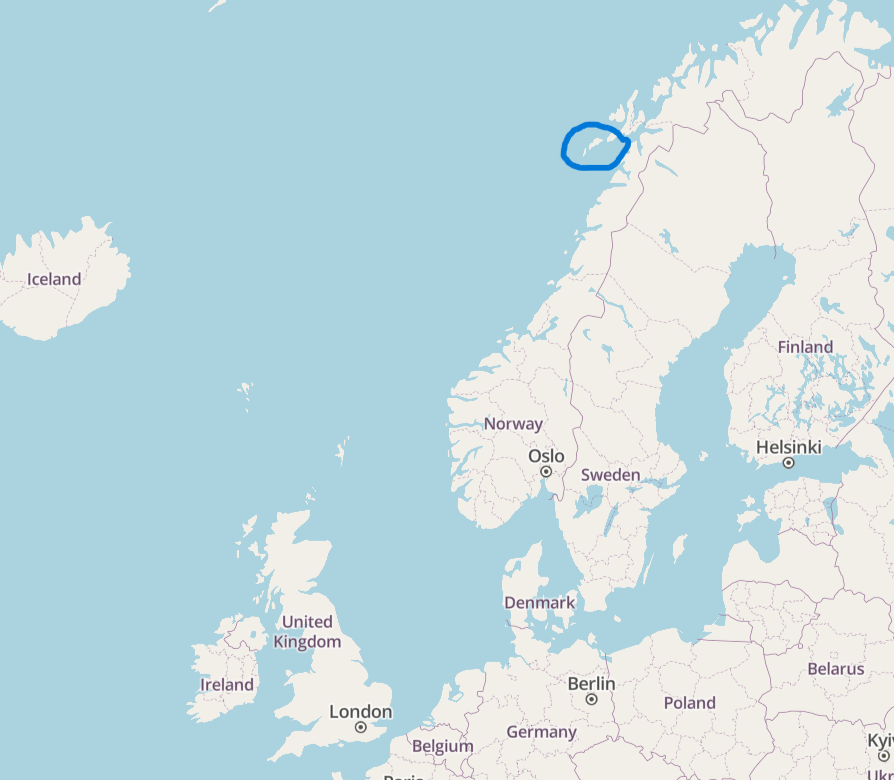
It lies between the 68th and 69th Parallels, some 300km inside the Arctic Circle, so is comfortably north of Iceland.
The sub-polar oceanic climate is unusual in having particularly mild winter temperatures, but there can also be substantial snowfall. The highest recorded summer temperature to date is 30 degrees centigrade.
Rainfall is plentiful, particularly from September to February. The average annual precipitation is 819mm, and the average number of days with rainfall of 1mm or more is 147.

The sun does not set between late May and mid July, and does not rise between early December and early January. The Northern Lights may be visible, most likely between early September and early April.
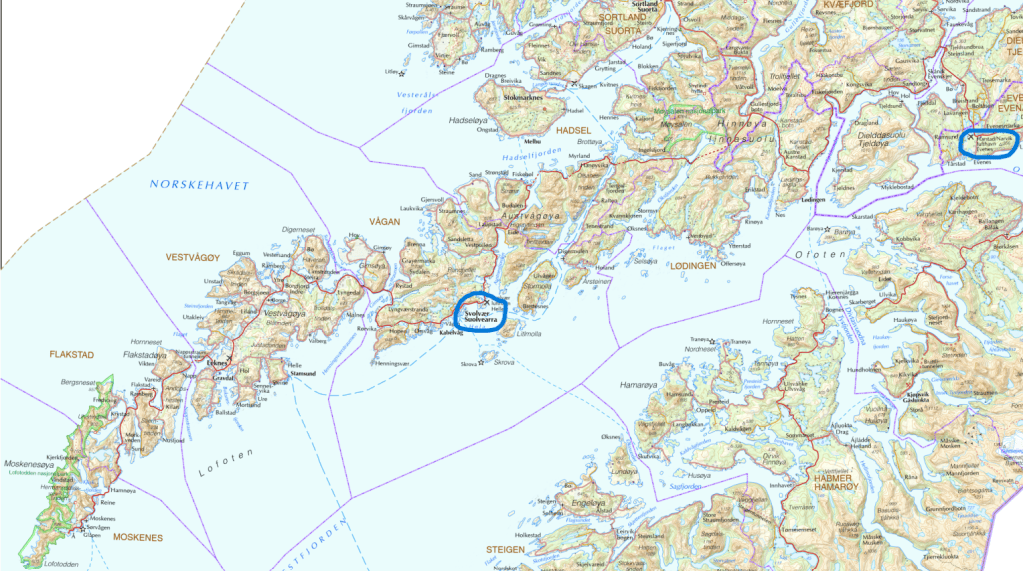
The principal islands are Hinnøya, Austvågøya, Gimsøya, Vestvågøya, Flakstadøya, Moskenesøya, Værøy and Røstlandet, but some of these are shared with a neighbouring archipelago, and there are innumerable smaller islands besides.
The total land area is 1,227 square kilometres (474 square miles).
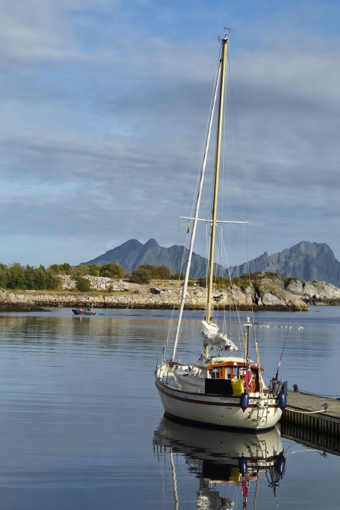
Lofoten is separated from the Norwegian mainland by Vestfjorden, essentially an arm of the Norwegian Sea which stretches north towards Narvik, narrowing as it does so. At the southern extremity of Lofoten, the mouth of Vestfjorden is around 80 kilometres wide.
Much of Lofoten is mountainous. The islands are typically indented by a multitude of bays, inlets and sea fjords. There are also innumerable landlocked fjords and lakes.
In 2002, Norway proposed Lofoten as a World Heritage Site
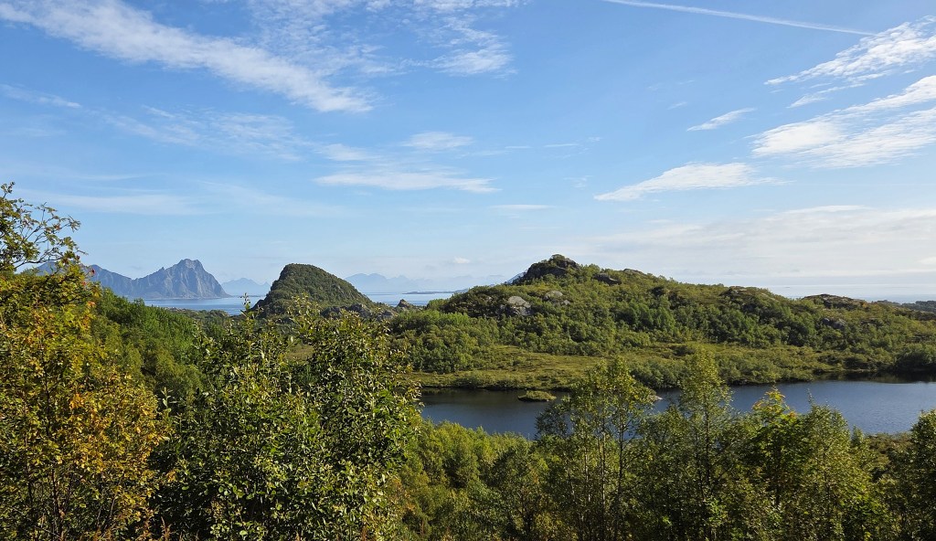
The resident population is comparatively sparse, at around 25,000. The two principal towns are Svolvaer, on the island of Austvågøya, which has a population of 4,700 and Leknes, on Vestvågøya, with a population of 3,700.
But tourism has boomed since the 2000s and, since 2023, the annual number of visitors to Lofoten is estimated to have exceeded one million, about 725,000 of them overnight stays.
Alongside tourism, fisheries remain the dominant industry, as they have done for a millennium.
An article on the Lofoten fisheries, published in Scotland in 1861, gives a flavour of the enterprise as it then was:
‘Usually the fish come in sight of Lofoten in January, and the fishing is over in the end of March or beginning of April. In March 1860, there were 10,080,000 cod-fish salted, and 12,7320,000 dried….The average number of fish taken in the winter of 1860, in Lofoten, was 24,000,000… About 40,000 gallons of fish oil were obtained from the same fish, namely from cod-liver, &c, because in 1860 the fish were very fat. Out of 27,000 fishermen, only eleven were lost in different gales. Twelve men died from fever and other diseases.’
The islands are home to otter and elk and a huge population of seabirds, including many white-tailed eagles (also known as sea eagles).
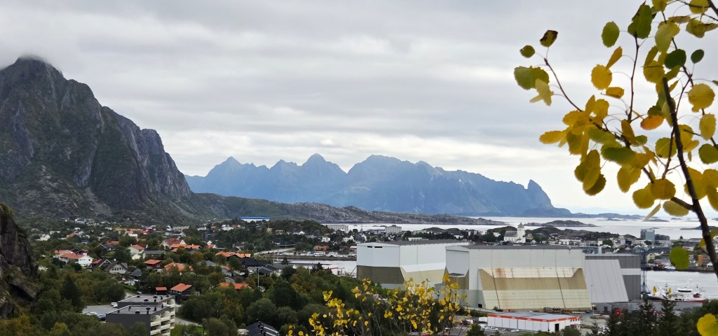
Svolvaer
The town of Svolvaer sits in the south-eastern corner of Austvågøya, facing the Vestfjorden. Administratively it is part of the Vågan Municipality.
Originally a small fishing village, probably established in the Sixteenth Century, Svolvaer emerged in the shadow of the far more substantial Vågar, once adjacent to Kabelvåg, a little further along the coast.
Little of significance happened in Svolvaer until 1890, when local fishermen fought to protect their local fishing rights in the face of competition from larger steam-powered fishing trawlers with more advanced technology.
The principal encounter is said to have occurred in nearby Trollfjord (see below).
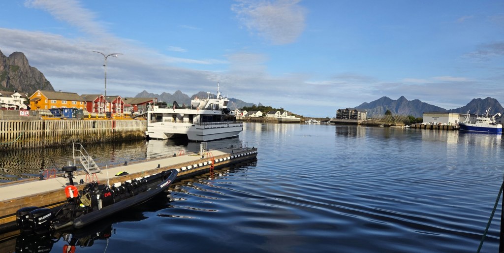
Intrepid Victorian tourists did not neglect the area. This is from an article published in ‘The Graphic’ in 1892 (my paragraphing):
‘Landing at Svolvaer, on Ost Vagoe, one afternoon in July, we found excellent quarters at the house of the telegraphist, practically an hotel in summer, and very comfortable.
Svolvaer, one of the centres of the enormous fishing industry of Lofoten, is built partly on a long tongue of land, projecting from the east coast of Ost Vaagoe (the largest island), and partly on a group of rocky islets clustering around this promontory, and forming with it a sheltered harbour of numerous channels, which, during the height of the cod fishing season – January to April – is frequented by, and finds shelter for, as many as 4,000 boats at a time, besides hundreds of larger craft.
It is then a very busy place indeed, but at the time of our visit, cod-fishing being past, and the herring season not yet begun, only the normal resident population was in evidence and comparative quiet reigned.
The situation is picturesque and beautiful in the extreme, with its tortuous waterways, and little hummocky, ice-worn rocky islands, dotted over with bright, variously-coloured wooden buildings – stores, wharves, fishermen’s barracks, and other erections, which, scattered about at various elevations without regard to order or symmetry, form, with the natural beauty of the site a tout ensemble in which an artist might revel and find subjects worthy his best efforts for many months.’
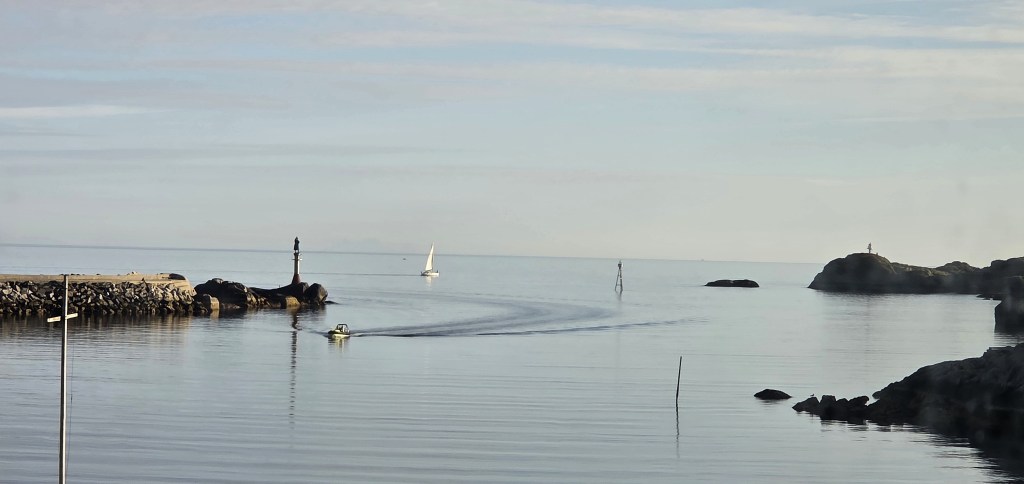
The artist particularly associated with Svolvaer is Gunnar Berg (1863-1893). He was born here, the eldest child of a wealthy merchant. Though he worked in Germany for the last decade of his life, he continued to base himself here during the fishing season.
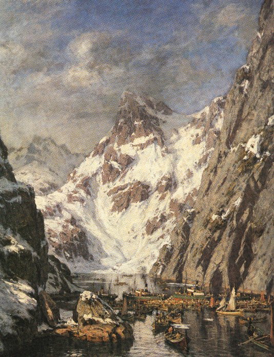
One of his most famous paintings ‘Trollfjordslaget’ (1890) portrays the confrontation between local fishermen and the steam trawlers.
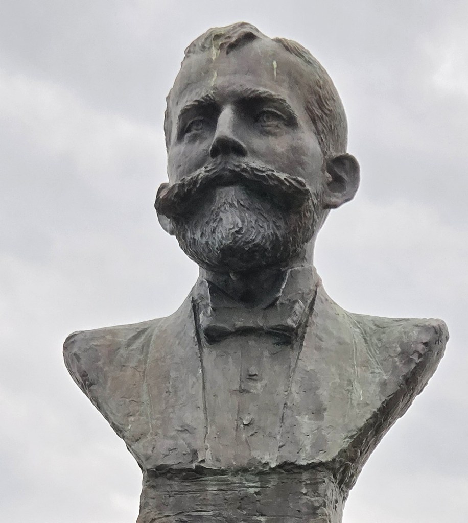
Berg died of pneumonia in 1893. There is a small gallery in Svolvaer dedicated to his work. We visited the family plot where he is buried, also admiring the bronze bust nearby. That was erected in 1994, the work of Svein Magnus Håvarstein (1942-2013).
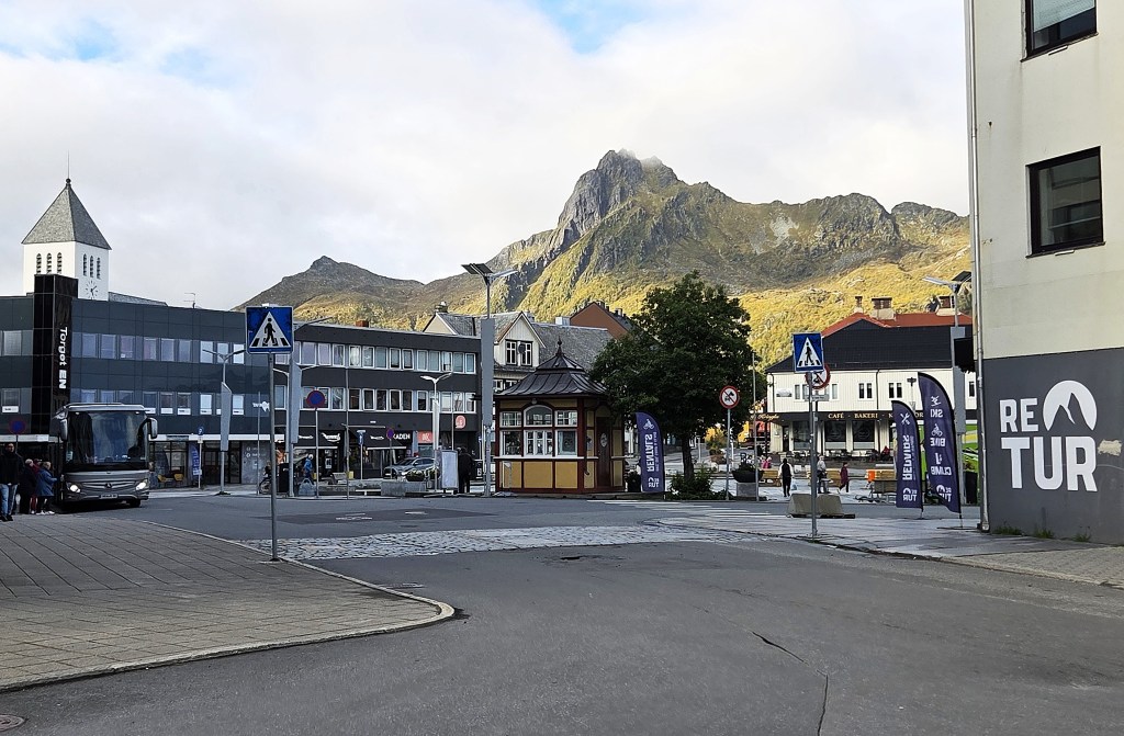
Svolvaer had acquired such significance by 1918 that it was accorded the status of a town and, for a while, separated from Vågan, becoming a municipality in its own right. There were some 2,400 residents at this point.
During the Second World War, Svolvaer was one of the locations targeted in Operation Claymore, the first large-scale Commando raid.
Over 500 men landed early in the morning of 4 March 1941. About 18,000 tons of merchant shipping was sunk and numerous fish oil factories destroyed, as well as extensive stocks of oil, glycerine and paraffin.
More than 200 prisoners were taken, including several Quislings. Some 300 Norwegian recruits were also liberated.
Most importantly of all, parts of an Enigma machine were recovered, ultimately enabling Allied intelligence to decipher German naval codes.
Following the raid, the Germans transferred their local Gestapo headquarters to Svolvaer and began building several bunkers and defensive batteries. During reprisals, several houses were burned and over 60 local people were imprisoned.
The Lofoten War Memorial Museum provides eloquent testimony of the suffering inflicted by the Germans in this part of Norway (and the Museum’s website is also particularly informative).
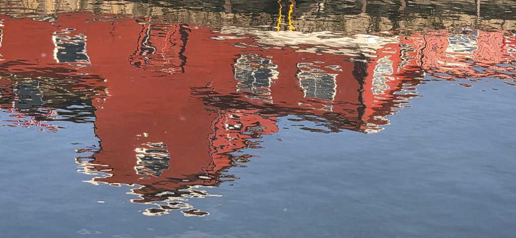
On 1 January 1964, Svolvaer merged with Vågan and Gimsøy to form a more substantial Vågan municipality. But, following a vote by the municipal council in 1996, it once again became a town in its own right.
It soon began to transform itself into the de facto ‘capital’ of Lofoten, developing into a hub for international tourism. Several new hotels were constructed along the waterfront, some on land reclaimed for the purpose.
Immediately behind Svolvaer sits the mountain called Fløya, or Fløyfjellet. On its south-west side it incorporates a pinnacle roughly 150m tall. This is known as Geita (or Svolværgeita), meaning ‘goat’, because it has twin horns, known as Storhorn and Lillehorn.
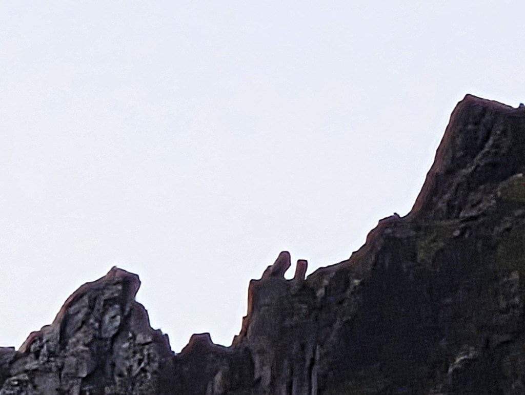
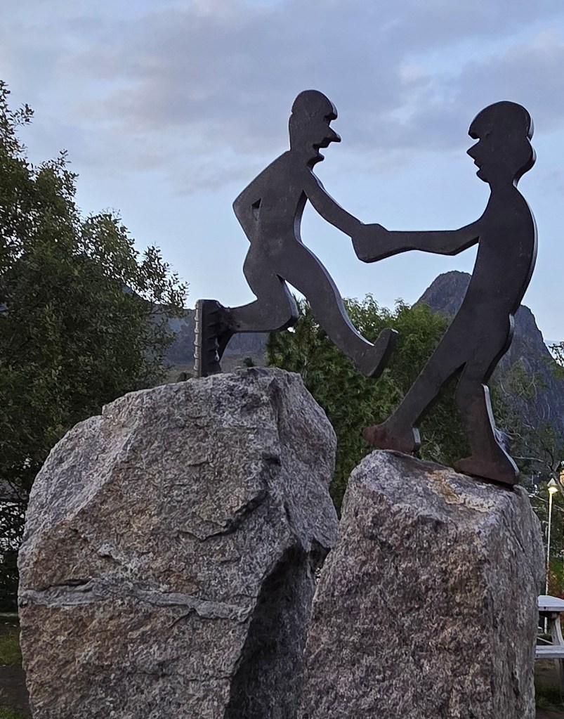
Since these ‘twin peaks’ were first climbed in 1910, various daredevils have established the practice of jumping across the 1.5m space between them.
This model in Svolvaer is said to align with the real thing, but the intervening trees have grown, spoiling the effect.
One evening we explored the Langåsen Sculpture Park, immediately behind the parish church.
Here we met ‘Walking Figure’, an extremely tall and determined-looking young woman sculpted by Sean Henry in 2022.
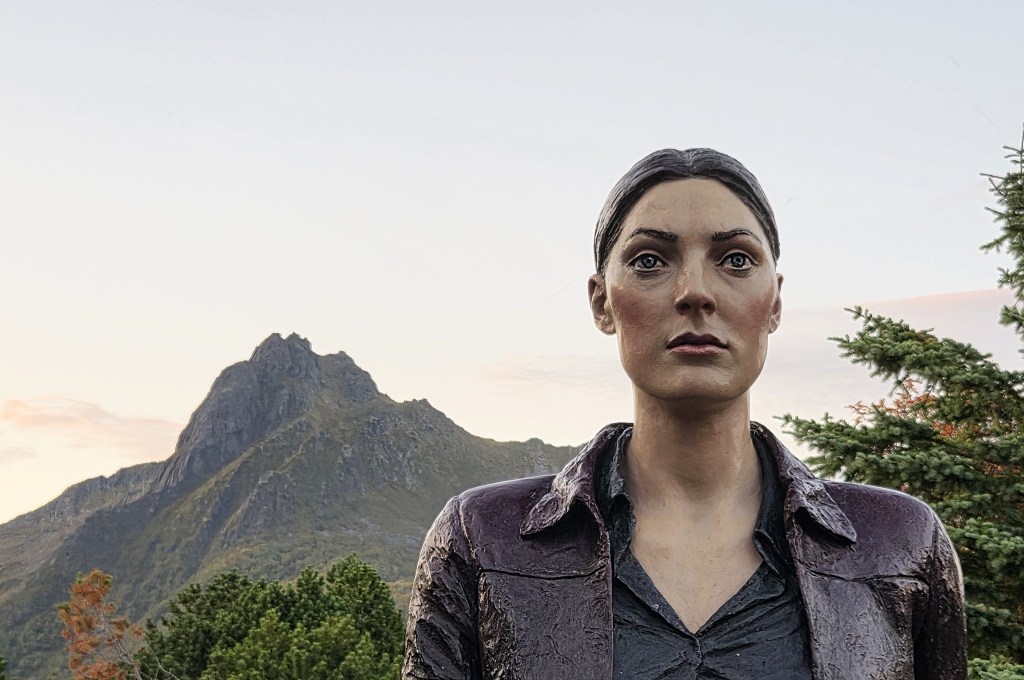
Henry is an English sculptor, born in Woking and presently living in Winchester. He is also responsible for the oversized man who sits on Platform 1 of Woking Station.
According to his website, he:
‘…depicts anonymous figures in drawings, painted bronze and fired clay, often portrayed in thoughtful and contemplative poses. Changes of scale disrupt our comprehension of the figures – proportions are never quite life size, but either enlarged or reduced, creating a physical and psychological contrast in relation to the viewer.’
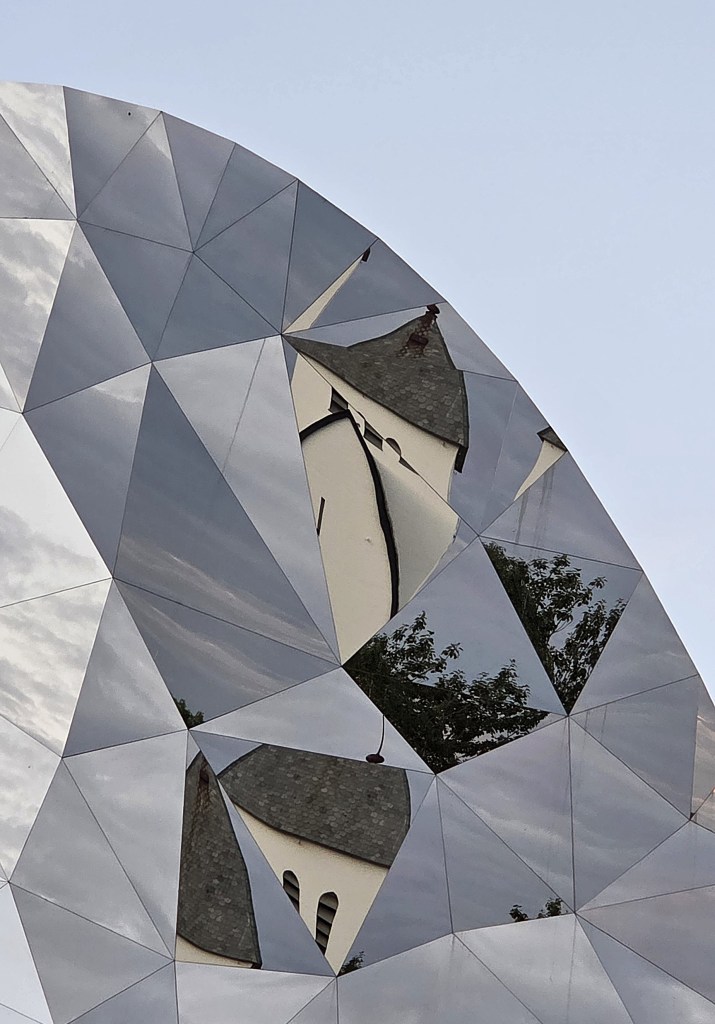
The Sculpture Park also contains ‘Eye of the North’, a polished stainless steel installation some eight metres high, by Jeppe Hein, a Dane based in Berlin.
The Thon Hotel, Svolvaer
We were staying at the Thon Hotel Svolvaer, located on Fiskergata, almost at the end of the quay, just behind the area known as Bekholmen on which sits the long, low-slung Scandic Vestfjord Hotel.
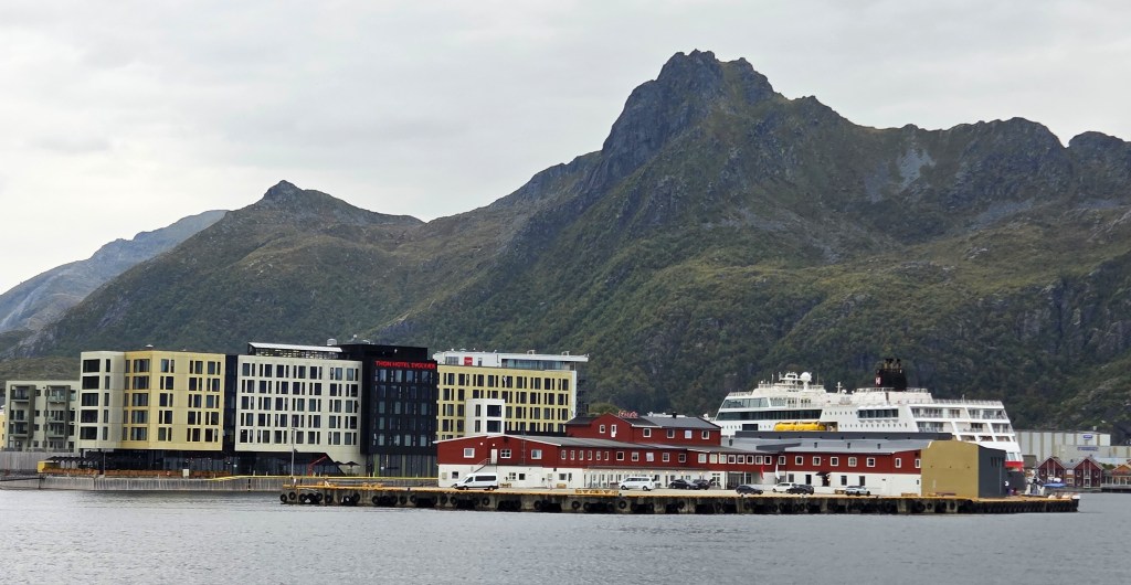
The THS is a seven storey, 211-room establishment which opened in 2021. It is not to be confused with the Thon Hotel Lofoten, also in Svolvaer, which opened in 2009. We entered the latter one day in error, thinking (erroneously as it turned out) that the two might be connected.
Our superior twin room had wall to floor windows, one pane of which could be opened very slightly. We preferred not to use the air conditioning.
It contained twin beds, two armchairs, a desk, television, minibar, nespresso machine, kettle, safe, ironing board and iron. There was plentiful hanging space but no drawers or cupboards.
The bathroom contained a substantial shower, with both overhead and handheld options, twin sinks, a toilet and hairdryer. One could set its underfloor heating to dry damp boots and clothes.
From our room – number 3114 on the third floor – we could see the Vjestfjord, the Scandic Hotel, a few camper vans parked at the extremity of the pier and, beyond, the narrow harbour entrance.
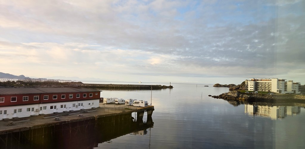
Through this pass numerous fishing boats and ferries, including the Hurtigruten services to Bodø and Bergen.
It is faintly alarming to watch these massive ships glide steadily closer, only to turn at the last minute, ultimately passing behind the Vjestfjord Scandic to their anchorage, slightly beyond.
Behind the Hotel’s entrance lobby there is a conference room on one side; a bar area and large restaurant on the other. Beyond the restaurant and its outdoor terrace sits a sauna located on an island. There is a diving board suspended over the harbour, should one wish to cool off afterwards.
A few of our number swam from here, despite the cold and the jellyfish.
There is also a fitness room on the second floor and an observation platform on the top floor, next the Hotel’s rooftop greenhouse
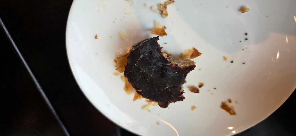
Breakfast was outstanding, offering huge choice, including muesli, nuts and seeds; yogurts and smoothies; pastries and cakes; breads, hams and cheeses; pancakes and extensive cooked breakfasts. Even smoked whale meat!
Only fruit was limited.
We discovered some amazing bite-sized choux pastry buns, filled with delicious cream, but, just as we began to crave them, they vanished, never to return.
The coffee was supplied by Nespresso machine, but I found that the ‘forte’ pod supplied the requisite strength. Two larger cups were sufficient for my early morning needs.
We also used the machine in our rooms to prepare drinks for our flasks.
Our group had dinner together at 19:00 each evening, immediately after a short briefing on the following day’s walks.
We were divided between three large tables of varying size and received a set, three course meal, adjusted for those with allergies or dislikes.
The starter was typically a soup; the main course a fish or meat dish with accompanying vegetables; the dessert a selection from a trolley of cakes, tarts and mousses.
Dinners were adequate but uninspiring, no doubt constrained by the limited per capita allowance agreed between HF and the Hotel. Some found them disappointing – often rather bland, with few sauces to help spice up the chunks of fish or meat, and sometimes with too few vegetables accompanying them.
Despite the hefty prices we bought one alcoholic beverage each per night, to drink with our meal. They had to be purchased from the bar and paid for immediately.
On the first night we were given a complimentary drink. I asked for a local Norwegian beer and was given Nordlands Pils, produced by Ringnes Bryggeri, part of the Carlsberg Group, while Tracy had a dry white wine.
The Nordlands Pils ran dry from the next day, so I switched to Lofotpils, which is brewed a stone’s throw away. Lofotpils (4.7%) is described as:
‘…creamy with good body and aroma, and a hint of yeast and bread. The finish is slightly bitter, dry and delicate, as a result of the wonderful water from the Lofoten mountains.’
Lofotpils AS is Lofoten’s only brewery. It was founded in 2006, but didn’t produce its first beer until December 2014. It presently offers twelve, including an amber ale, a blond ale, an IPA, an American pale ale and a stout.
Tracy alternated between white wine and Crowmoor cider, produced by the Sinebrychoff brewery in Finland, also part of the Carlsberg Group.
Our nightly bar bills came in at almost £22.
Day 2: Svolvaer and Kabelvåg
On our first walking day, we were offered the choice of two in the vicinity of Svolvaer:
- The easier option was a seven mile hike, beginning with a bus ride to the nearby fishing village of Kabelvåg, then passing a series of lakes including Prestvatnet and Lille Kongsvatnet before returning to the Hotel;
- We chose the harder option, a six mile walk, shorter but less flat. This began from the Hotel, passing through the suburb of Osan before ascending Tjeldbergtinden and continuing along its ridge, followed by a steepish descent. Our route also then took us past both Lille Kongsvatnet and Prestvatnet Lakes, concluding in Kabelvåg, from where we would catch the 16:30 bus back to Svolvaer.
We set our alarm early enough to reach breakfast shortly after 07:30, and it was already heaving.
It took a while to master the layout and to track down key items such as butter (beside the muesli and smoothies) and milk (dispensed from a machine by the wall).
I opted for the strategy of picking up all necessary plates at the outset – muesli; pastries; bread and cheese/ham – before consuming them in a vaguely logical order. If we were positioned near the coffee, just one short additional journey was required!
Fifteen of us had opted for the harder walk, led by Katie. It was bright and sunny as we made our way westwards, across the bridge carrying the E10 to Osan.
Once across, we took a right turn along a residential shoreline before turning on to a broad gravel path identified as Dalfaret, adjacent to the fire station.
We ascended gently, passing an outdoor shooting range belonging to the Svolvaer Pistol Club, founded in 1965 and now with about 90 members.
We began to get glimpses of Svolvaer spread beneath us to the east, several humpy islets distributed behind it, along with a mountain on either side.
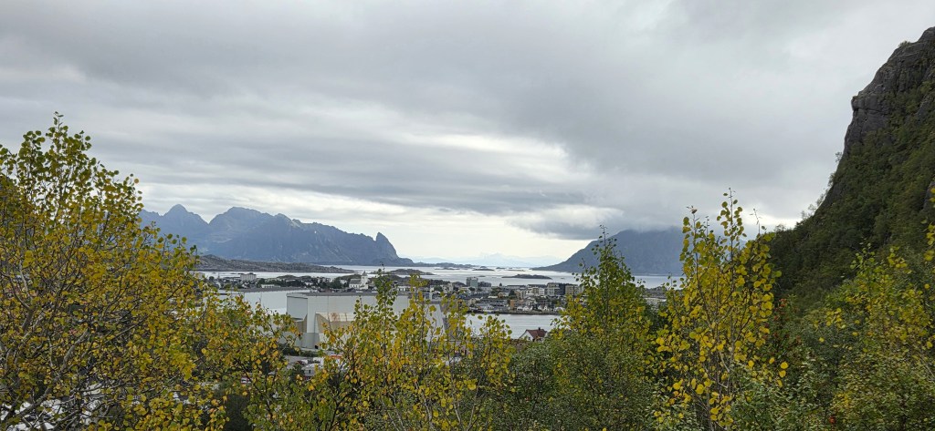
The prospect was clear as we branched off the gravel path, ascending through trees, beyond the telephone mast.
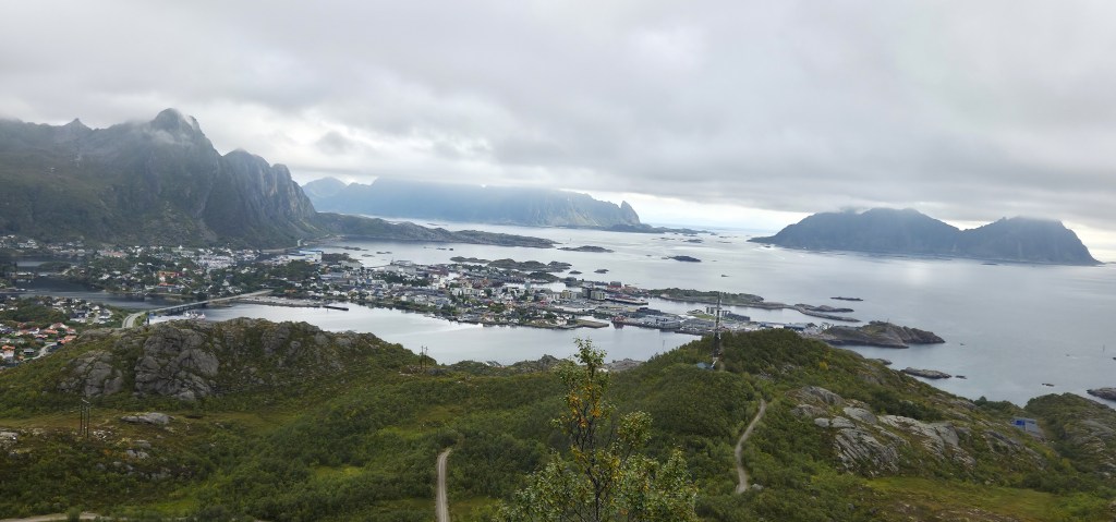
But, two-thirds of the way up, we were asked to wait for the slower members of our party and, by the time we finally made it to the ridge, the clouds had descended.
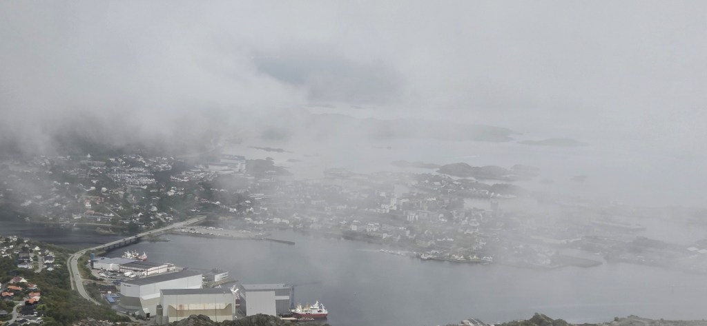
Our route lay westwards along the ridge, to the peak of Tjeldbergtinden, at 367m. Some light scrambling is required to reach the summit, but there is a rope rail.
‘Tjeld’ means ‘oystercatcher’ in Norwegian. Many arrive in Lofoten around the middle of March, staying until late September, when they migrate southwards, many to English coastal areas.
Our guide decided against approaching the summit, I think possibly in error.
We continued in the opposite direction along the ridge, looking down upon the southern shores of Lille Kongsvatnet to our right. This takes its name from the Kongstindan mountain (522m), just behind.
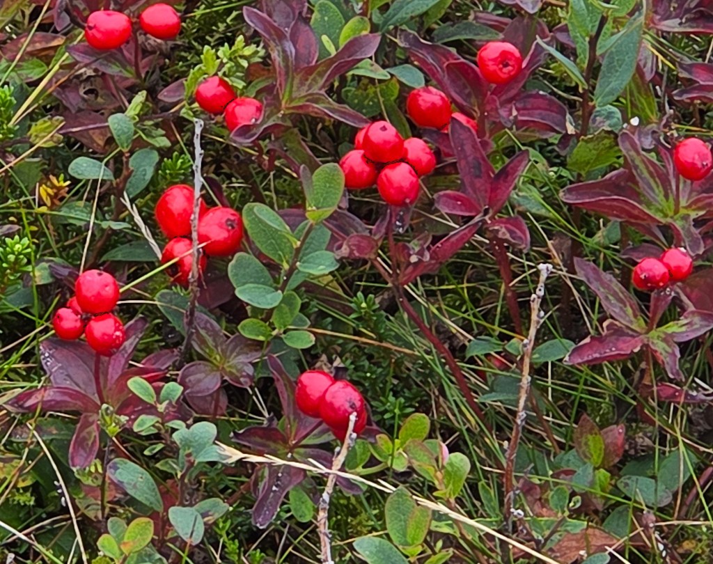
Our path was strewn with patches of Cornus Suecica, or bunchberry, the red berries standing out vividly, even in the gloom.
Lunch was taken around 12:15, upon the small knobbly summit at the end of the ridge.
As we concluded, a few gleams of sunlight began to penetrate the cloud cover, brightening the vista below. We were now looking down upon the eastern shores of Stor Kongsvatnet, the larger neighbour of Lille Kongsvatnet, the ridge immediately behind still wreathed in cloud.
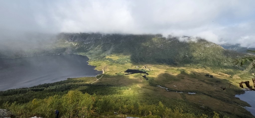
Midway through our steep descent, the sky brightened further. We could more clearly appreciate the view ahead, while also trying to secure a decent foothold and not slipping over.
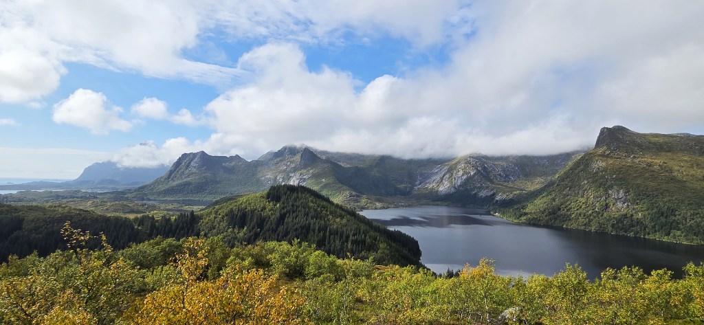
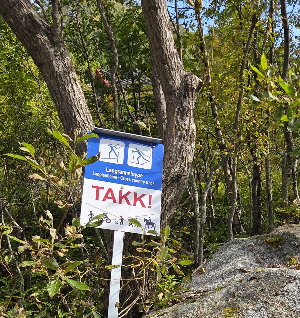
By 14:00 we had reached the cross country skiing trail at Kongshalsveien.
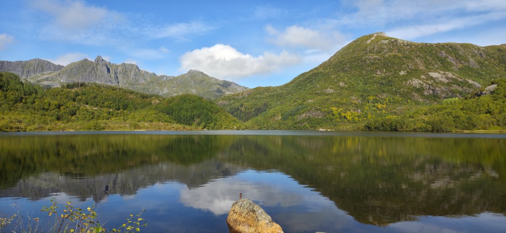
We made our way south alongside the western shore of Prestvatnet, eventually stopping near the edge at its southern extremity, close to a bench and barbecue. The sky was now predominantly blue, the few passing clouds reflected in the still water.
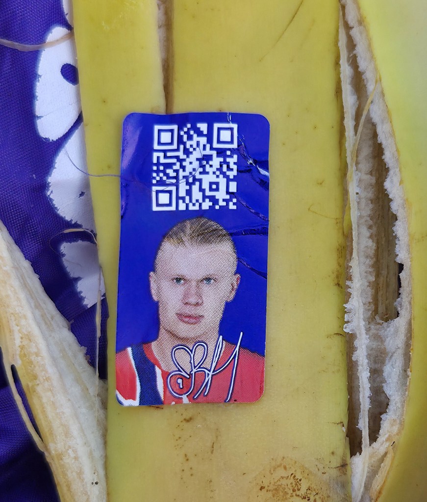
I tucked into my banana, the skin of which bore a photograph of some Norwegian footballer, along with a QR code that revealed useful information about eating bananas.
It was supplied by Bama Gruppen AS, Norway’s largest private distributor of fruit and vegetables. This Company began importing bananas to Norway in 1905, the first European country to do so, after the UK.
Our guide said there had been sea eagles about when she had been here the previous week, but they had apparently moved on.
Just as she was narrating some of the history of Kabelvåg, our next port of call, I caught the briefest glimpse of a large pair of wings vanishing behind the headland to our left.
There is a substantial history to narrate.
Kabelvåg is some five kilometres southwest of Svolvaer and, adjacent to it, there was a much older settlement, Vågan, which donated its name to the municipality.
The details are vague because much of the evidence is drawn from historically unreliable Norse sagas.
Some suggest that Vågan was founded by Eystein Magnusson (c.1088-1123), joint King of Norway alongside his half brothers Sigurd the Crusader (1089-1130) and Olaf Magnusson (1099-1115).
According to the sagas, Eystein had a church built in Vågan, the first in Northern Norway, as well as accommodation for fishermen.
Others believe it had already acquired prominence a century earlier, just as the Lofoten fishing industry was becoming commercially significant. They think it might have been founded as early as the reign of King Olaf Tryggvason (c.965-1000)
Following Eystein’s and Sigurd’s deaths, Norway began a protracted civil war.
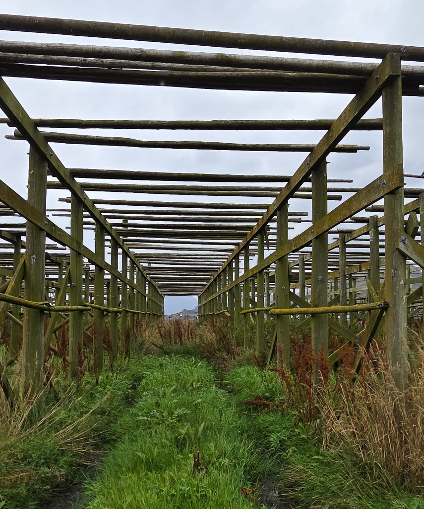
Once a semblance of peace had been restored, the practice arose of holding an extended annual meeting here, known as the Vågastemnet, when the fishermen took down their dried, unsalted fish (stockfish) from the wooden drying racks so that it could be sold.
These meetings began to draw men of importance from across Norway, and beyond: representatives of the king, senior clerics, merchants and traders. For, by the Thirteenth Century, dried fish accounted for some 80% of Norway’s exports.
Because so many powerful men were present, it made sense to convene assemblies at which disagreements could be settled and punishments meted out for various offences. As the church became more established, religious meetings were also convened.
Evidence of Vågan’s importance during these Vågastemnet can be adduced from the number of surviving documents that were written while they were in session.
On the other hand, there is little archaeological evidence of substantial buildings. The settlement probably extended no more than 20 acres, so Vågan’s significance was vested in its visitors rather than the structures they occupied.
From 1350 or thereabouts, these meetings were ravaged by the plague. Documentary evidence disappears after 1400 and, by the late Sixteenth Century, the Bailiff of Lofoten was describing Vågan as a small, impoverished fishing village.
There was a limited renaissance during the Nineteenth Century, when the local fishing community required some 110 huts, but it declined once again as the Twentieth Century began.
The harbour was now too small for larger, modern ships. They docked at Kabelvåg or, more often, at Svolvaer.
The area was given over to farmland, but it was very difficult for farmers to make a living.
In 1900, when a substantial farmer finally went bankrupt, his property was auctioned to help pay his debts. It was acquired by a bank based in neighbouring Kabelvåg which, in 1909, donated it to the local community. It was used as a retirement home before becoming Lofoten Museum in 1976.
By the mid-Nineteenth Century then, Kabelvåg was the more important. It had attracted a permanent population of craftsmen and merchants, acquiring a school, hospital and telegraph station.
There were some 400 inhabitants when, in 1874, local residents petitioned the Norwegian Parliament for money to improve the harbour. Funding was granted and a breakwater completed in 1879, only for it to be destroyed almost immediately by storms.
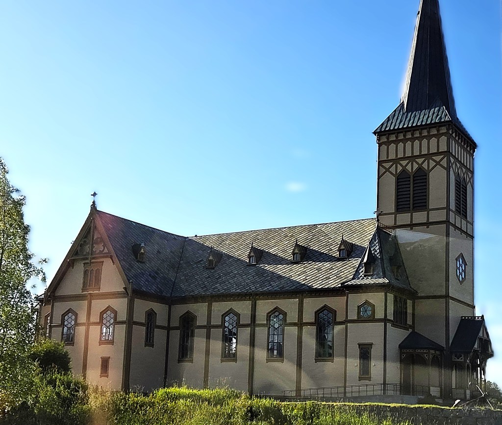
A new wooden church was constructed in 1898, big enough to accommodate the expanding population, as well as visiting fishermen. It was designed by architect Carl Julius Bergstrøm (1828-1898) in Gothic revival style and seats up to 1,200 people, justifying its nickname ‘Lofoten Cathedral’.
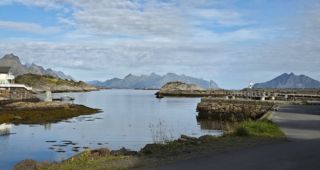
Under the influence of Norway’s National Harbour Authority, which established its regional base in Kabelvåg, the breakwater was not replaced and it was decided that a sheltered inner harbour would be built instead. This did not rival the growing ascendancy of Svolvaer, whose harbour was larger and deeper.
Kabelvåg did finally acquire a new breakwater in 1929 but, in recent times, its harbour has largely been left to pleasure craft and smaller fishing vessels. The last fish processing plants closed here in the 1990s.
Arriving in Kabelvåg, we stopped at the new SKREI Museum, which opened in June 2026, but confined ourselves to using the toilets.
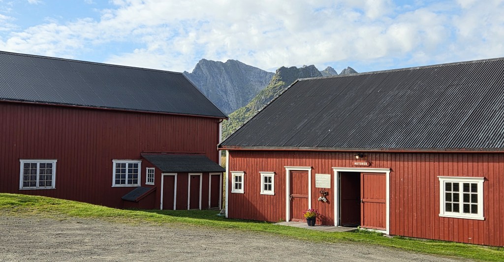
Navigating our way across to the original Lofoten Museum, we admired the nexus of wooden buildings in their idyllic location before walking around the neighbouring lake, Rekøykeila, to reach the village and its harbour.
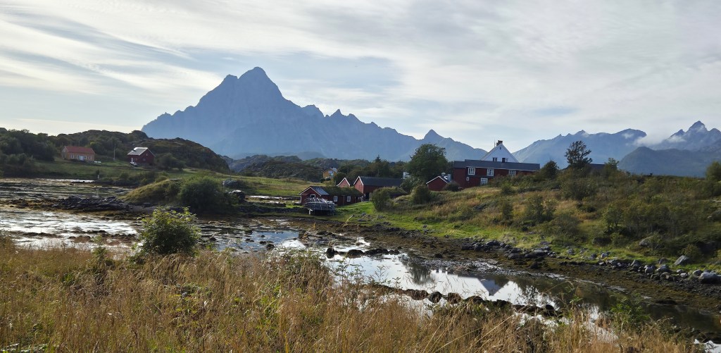
Those who wished to spend more time in these museums could do so on their rest day.
We picked up exotic ice creams from the local supermarket, finally mastering the self-service till, courtesy of instructions in English.
We had to walk out to the bus stop on the main road, at Marithaugen, since road works prevented the bus from entering Kabelvåg. Our guide had bought a group ticket in advance, securing a preferential rate for all those aged 67 plus.
The bus arrived some ten minutes late and we climbed stiffly aboard for the short journey back to Svolvaer.
It was a beautiful, still evening, the water like glass.
Shortly before dinner we watched the arrival of Heimdal (W332), a Norwegian Coastguard vessel.
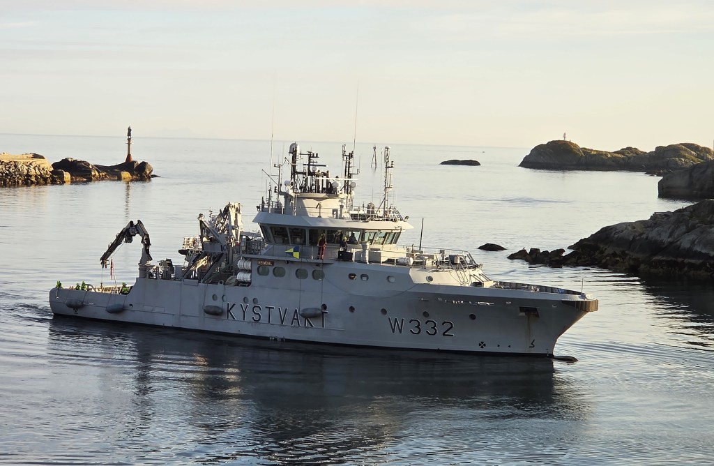
The Coastguard is part of the Royal Norwegian Navy, and W332 is one of five Nornen Class patrol vessels responsible for Norway’s inshore waters. She is 47 metres long, displaces 743 tonnes and has a 12.7mm machine gun. There is a crew of 20.
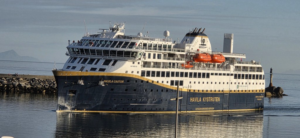
W332 moored beside the Hotel, leaving the main harbour to the Hurtigruten service, Havila Castor, which was approaching immediately behind. We watched her enter the Harbour before descending for our walks briefing.
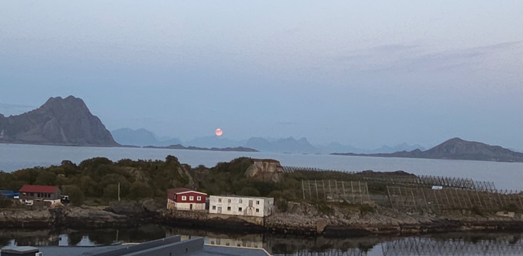
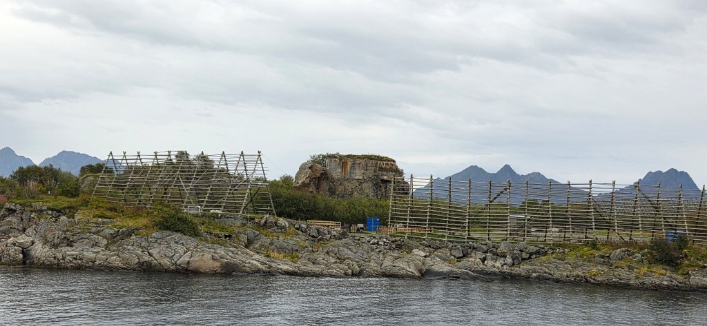
After dinner we took the lift up to the 7th Floor, to the observation platform. Here we watched the moon rise over the drying racks and the rusting remains of the WW2 bunker on Kuba.
Day 3: Holandsmelen, Haukland and Uttakleiv on Vestvågøya
Both walks involved a coach journey of some 75 minutes to the western side of Vestvågøya, further down the archipelago.
- The easier option, five miles long, began at Haukland Beach, following an old road to Uttakleiv before returning around the headland to the starting point. Those who wished to could also visit the nearby Viking Museum.
- The harder option had originally been nine miles, including 690 metres of ascent. It would have involved the ascent of Holandsmelen, a descent to Kjellbogen, Haukland Beach and then the same circular route via Uttakleiv. However, problems had been encountered in previous weeks because those on the easier walk were having to wait two hours for those on the longer walk to complete it. So the decision had been made to terminate the longer walk at Haukland Beach. This reduced it to a distance of five miles, with total ascent of 485 metres.
Breakfast at 07:30 was still very busy, including a Chinese coach party. Our own coach departed at 09:00 and, in the rush, I initially forgot I was still wearing my trainers, so had to about turn quickly.
Descending the stairs to the ground floor, I watched hotel staff lowering its three national flags to half-mast, for the King had died overnight.
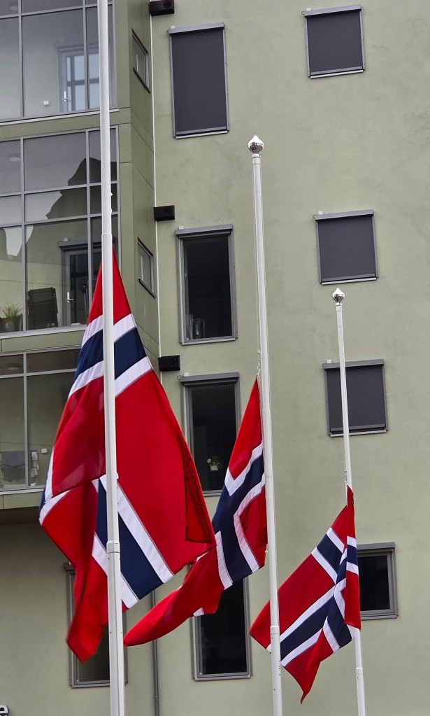
King Harald V was born in 1937, son of the future King Olav V and Crown Princess Martha of Norway. He became Crown Prince in 1957, when his father ascended the throne. From 1960, he attended Balliol College, and in 1968 married Sonja Haraldsen, a commoner.
When his father died in 1991, Harald and Sonja became King and Queen. Upon his death, Sonja became Queen Mother and Harald was succeeded by his son King Haakon VIII (b 1973).
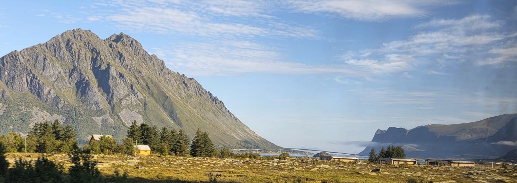
We climbed aboard the coach in bright, sunny conditions, quickly rejoining the E10. Soon we were crossing the bridge between Austvågøya and Gimsøya, before following the southern coastline of Gimsøya and crossing a second bridge to Vestvågøya.
We stopped for a while at the Torvdalshalsen viewpoint, looking south and south-east across Bjorgfjord, in the general direction of Borge Church.
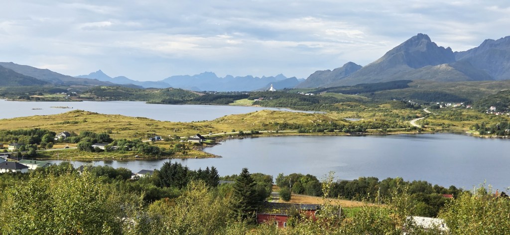
This concrete church with a sweeping roof was designed by local architect Knut Gjernes and completed in 1987. Its immediate predecessor, consecrated in 1898, caught fire and burned to the ground, only two years after the church before that had burned down after being struck by lightning.
This latest iteration is affectionately nicknamed ‘the ski jump’.
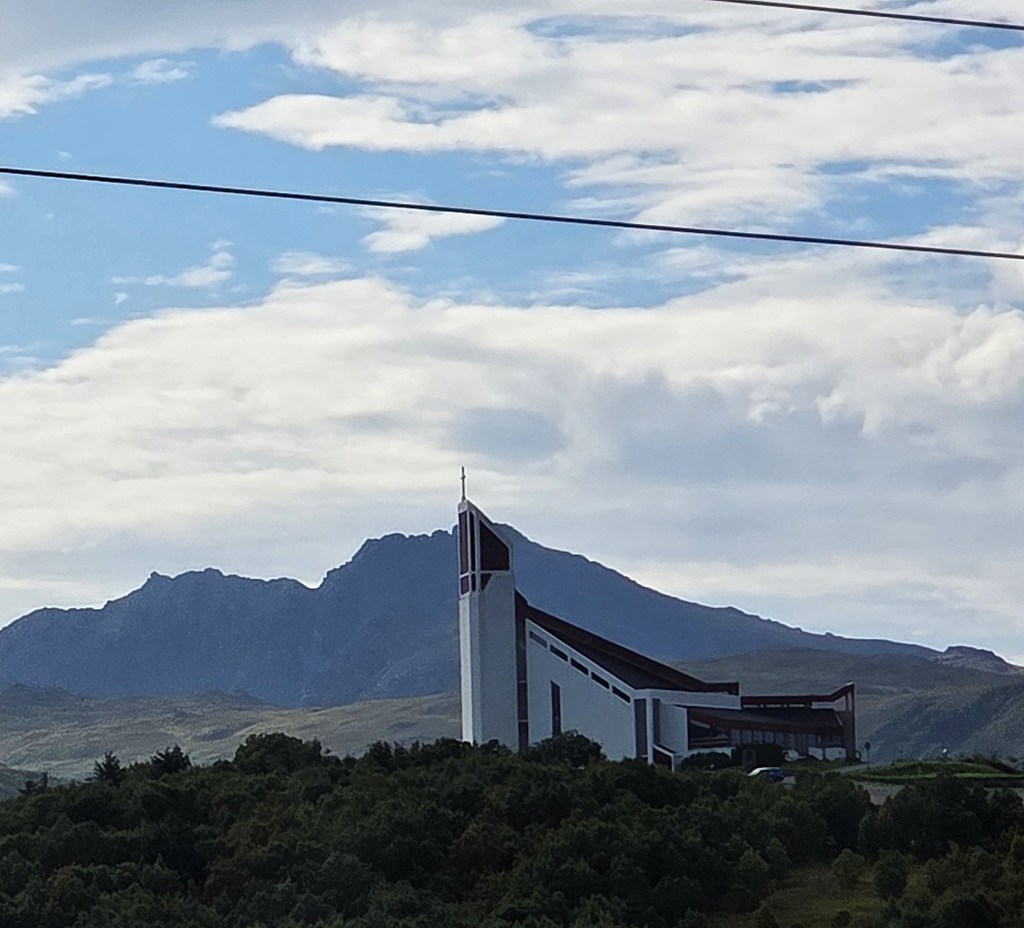
We passed the church a little later, though it stands some way back from the road, behind the Viking Museum.
The museum’s centrepiece is a reconstructed Viking longhouse, some 83 metres long. The original was discovered nearby in 1981. It is believed to have existed as early as 500AD, though it was rebuilt on a larger scale at some point in the Eighth Century and then abandoned around 950AD.
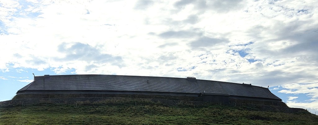
Initial excavations revealed shards of pottery and glassware imported here from France and Germany a thousand years previously. Such wares had never been found so far north.
The Museum opened in 1995. It also incorporates a blacksmith’s forge, a boathouse and a reconstructed Viking longship.
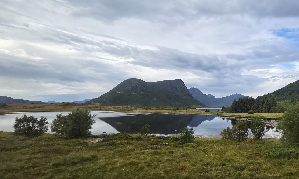
We zoomed past, turning off the E10 onto a side road shortly after Vian. We crossed a narrow stretch of land sandwiched between a sea fjord and three inland fjords: Farstadvatnet, Reppvatnet and Vikvatnet, then continued westwards before alighting at a point on the 7716 Voieveien road.
We would be ascending in a north-easterly direction, initially through woodland. The going underfoot was already damp, a little muddy. There was a further brief shower as we climbed.
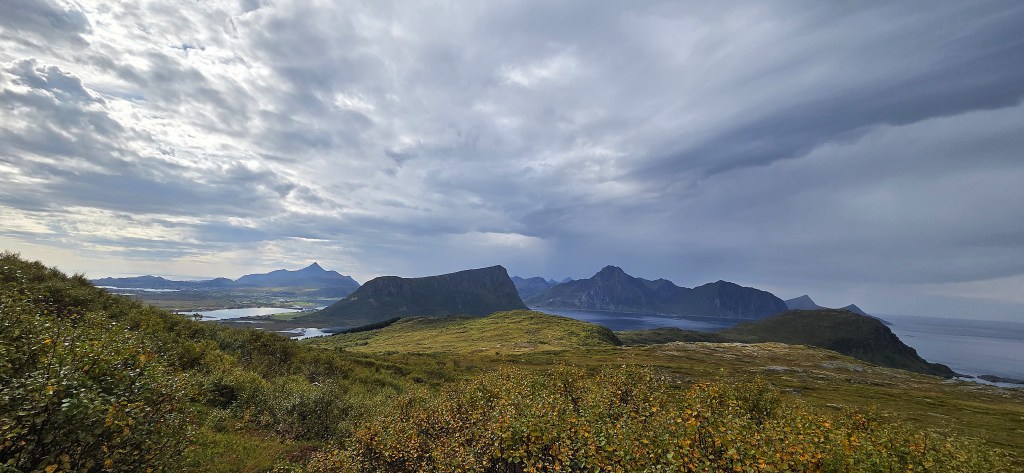
Eventually we emerged into a treeless zone and stopped for coffee before tackling the final and steepest part of the ascent. Though more cloud was massing, visibility remained very good.
Two of us reached the summit of Holandsmelen, at 434m, by around 12:15, enjoying phenomenal views in almost every direction.
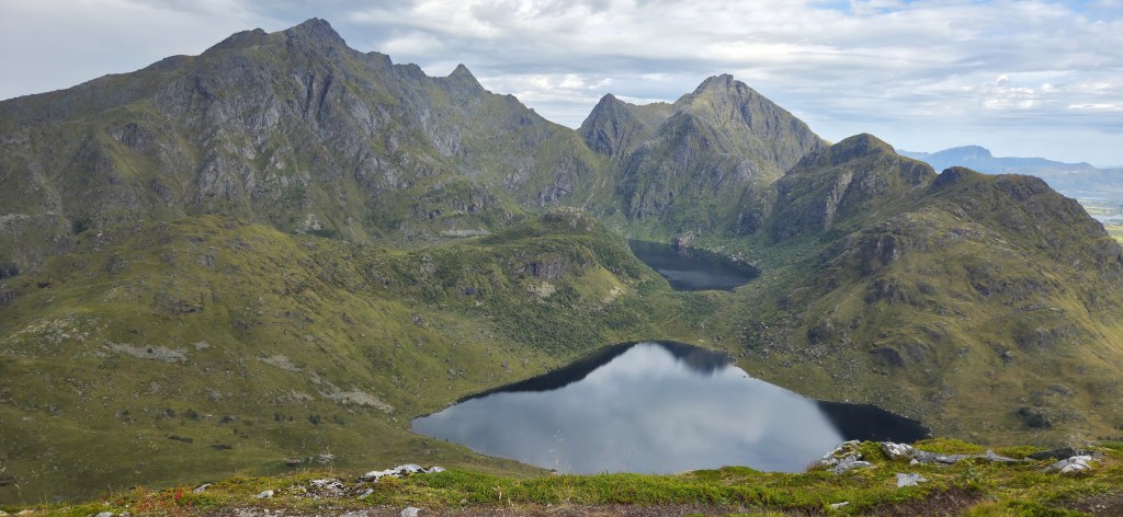
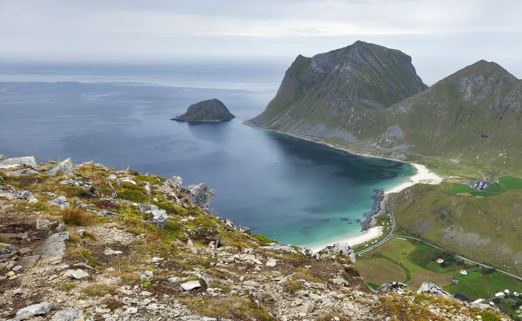
We could see two lakes stacked one behind the other – Vikvatnet and Mørkdalsvatnet – and, far below, the sandy crescent of Haukland Beach.
At the top we found a small cairn and a red plastic clipper, attached by string to a black plastic tube, on the end of a short metal pole. It carried the legend ‘Universitari Gaudenti Associati 1993’.
This refers to a student association based in Fribourg, Switzerland. It seems to represent students drawn from Ticino, the southernmost of Switzerland’s cantons, mostly south of the Alps and largely surrounded by Italy.
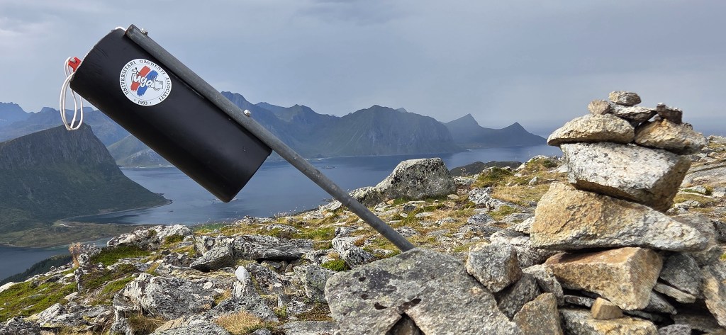
Quite why it is here is anyone’s guess, though it might have been used in the next day’s race (see below).
The others began to arrive a few minutes later, and we enjoyed the vista together before dropping down to take our lunch in a slightly more sheltered spot.
While eating our sandwiches we watched a distant helicopter skirting the mountains, repeatedly transporting loads between A and B.
As we descended it began to rain, which reduced visibility while making the path both muddy and slippery. We straggled down as best we could, most of us falling at least once (including me).
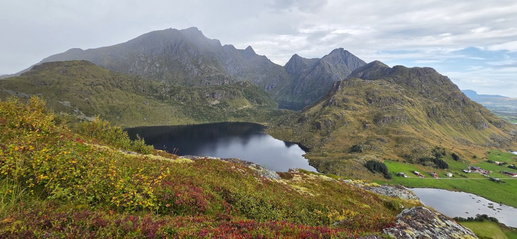
It took the best part of an hour to reach the road to Haukland. We diverted for a while on to a muddy trail, preceded by a cluster of grubby sheep, but eventually rejoined the road.
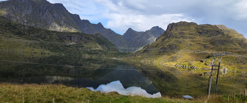
We passed Vik Strand, a handful of caravans still scattered along the road behind the beach, but there was a distinctly end of season air about the place.
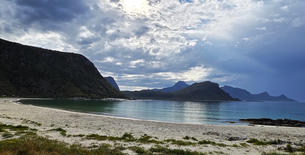
We reached Haukland by 14:45. Because our descent had been so energy sapping, we were not too sorry that the route had been shortened.
Instead, we bought half price ice creams from the beach cafe, then walked on to the beach for a paddle. A small girl was collecting seashells nearby.
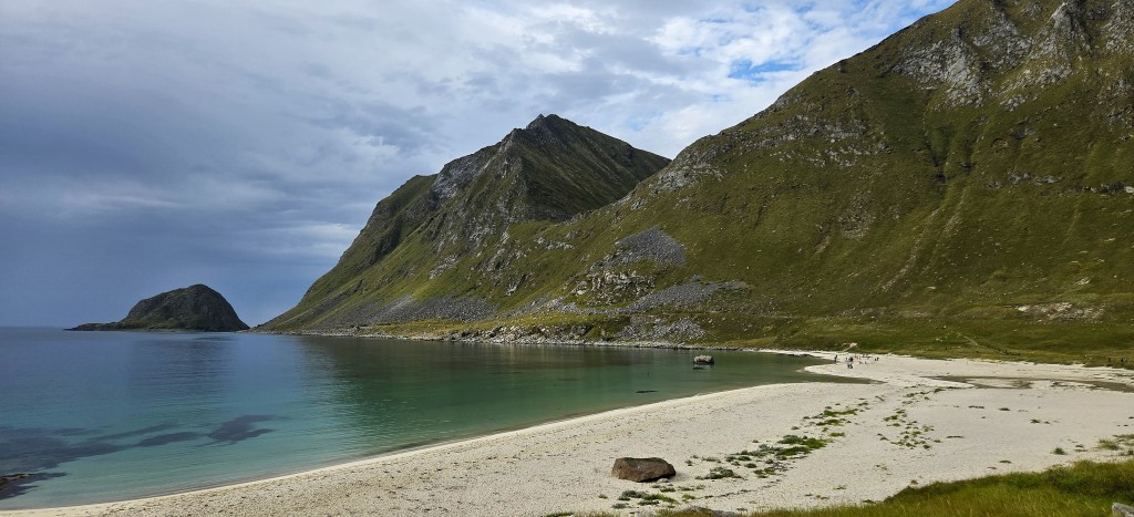
We managed to advance ankle-deep in the exceedingly cold water before our feet grew numb and we were forced to retreat. Meanwhile, a group of young people careered into the water and out again, twice!
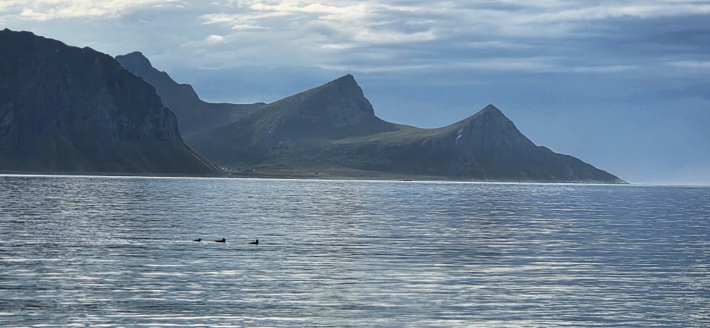
As we dried our feet, three ducks swam by, silhouetted against the distant mountains.
We were back on the coach by 15:30 and on our way back to Svolvaer.
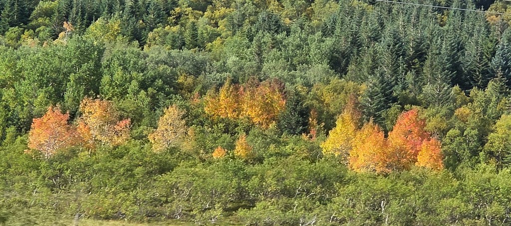
On the way back we caught another glimpse of sea eagles. We could also see the tell-tale signs of autumn beginning to show amongst the trees. (We learned subsequently that autumn in these parts can be over in little more than a week!)
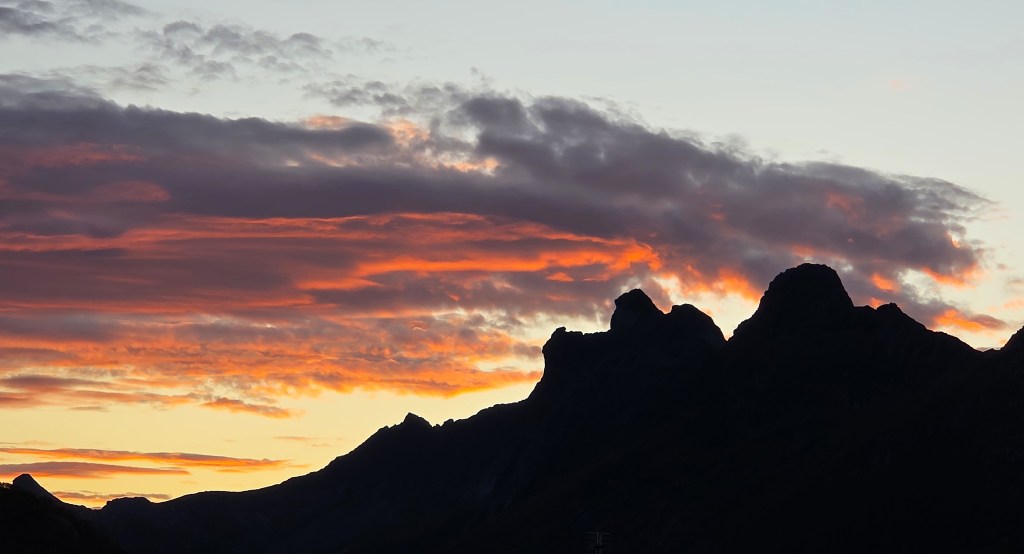
That evening, after dinner, we enjoyed a stroll around Svolvaer. The sky grew pink as twilight approached. We learned the next day that the Northern Lights had been briefly visible towards midnight, a few miles along the coast.
Day 4: Trollfjord
Saturday was our rest day, so it was a slower start, without an alarm.
Turning up later for breakfast, we found everything far more relaxed, though all the teapots seemed to be out of commission.
The coastguard ship left the Harbour at 09:00, its own small flag at half mast. It also flew a blue and yellow quartered pennant, meaning it was on fishery inspection duties.
Outside, in front of the Harbour, we found the start and finish markers for the 2026 edition of the Lofoten High 5 Mountain Race.
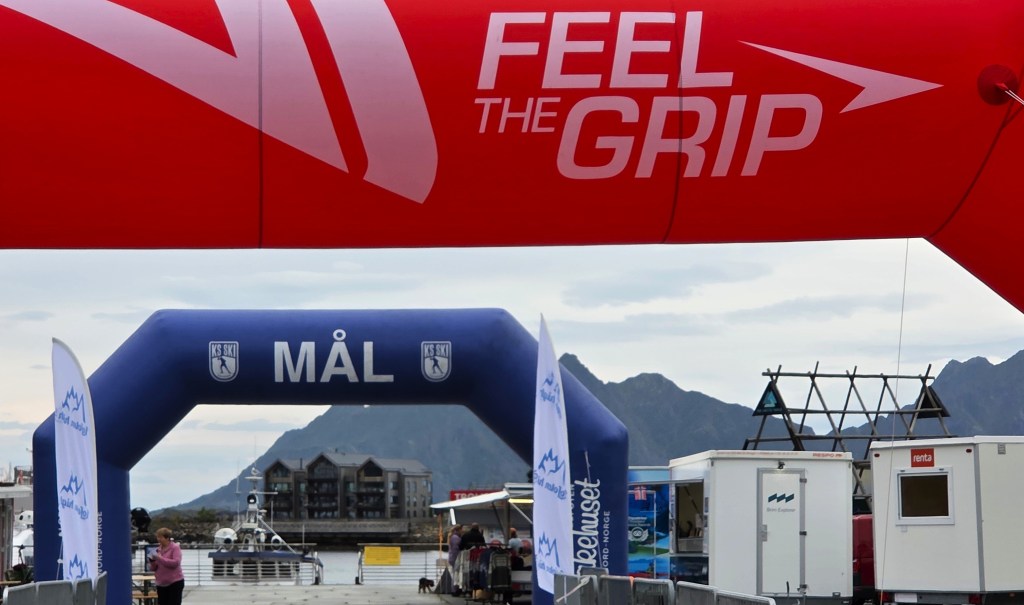
This 22km route visits the summits of five surrounding peaks: Fløya (590m), Blåtind (621m), Tuva (477m), Lille Kongstind (378m) and Tjeldbergtind (367m) which we had visited two days earlier.
The race was won by Shanga Balendran, a 32 year-old female medical doctor resident in Kabelvåg and from the Lofoten Løppeklub, a second ahead of Vegard Øie, a 34 year-old male employed by the Norwegian Ski Federation, from ‘Team Ice Cream’.
Before leaving England, we had pre-booked a ‘silent cruise’ to Trollfjord with Brim Explorer, so we were lurking in the Harbour area, waiting to be allowed aboard.
Brim Explorer was founded in 2018 and now operates in five Norwegian locations. The Trollfjord cruise departs four times a day between 09:00 and 19:00. We were booked on the 11:00 departure.
We found ourselves boarding MS Bre, a hybrid-electric boat normally based in Bodø. It was built in 2024, has a top speed of 30 knots and space for 130 passengers.
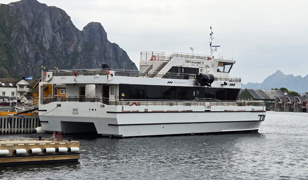
There were perhaps 25 on our sailing, roughly half of them members of our group.
Our route lay north-eastwards. We would be rounding the runway of Svolvaer Airport at Helle, before heading up the strait called Raftsundet, almost to its end, before turning into the narrow entrance to Trollfjord, opposite the island of Ulvøya.
We would return the way we had come, the entire trip lasting approximately three hours.
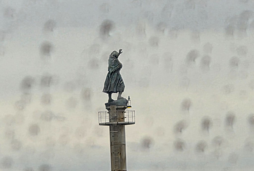
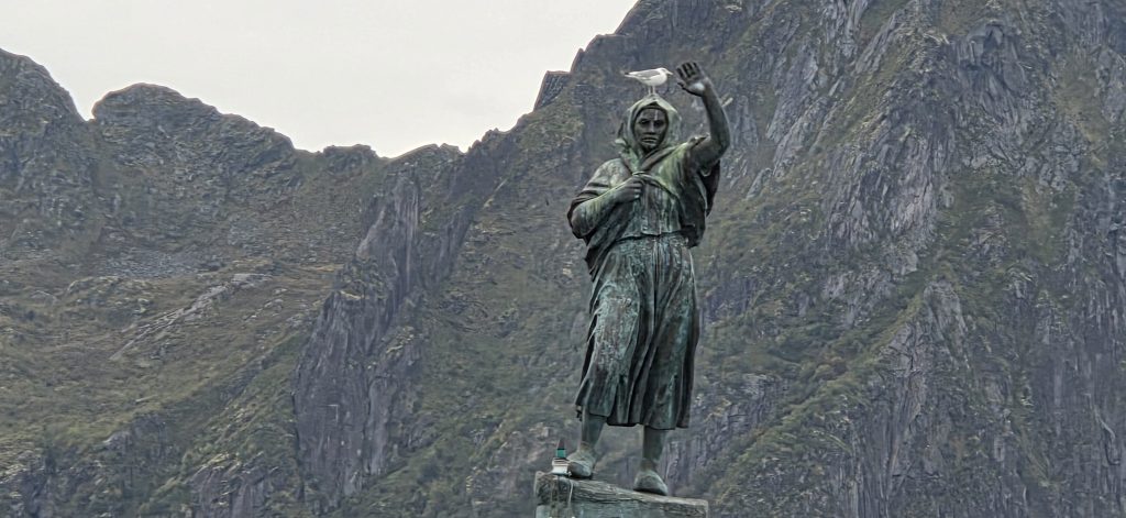
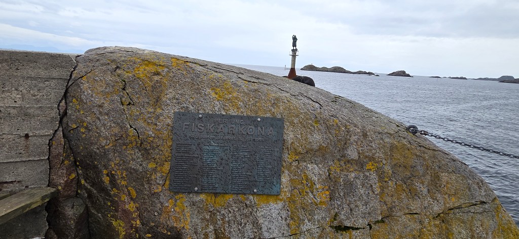
As we passed the fisherman’s wife, waving at the harbour entrance, it began to rain. This 4.5m high bronze statue by Per Ung (1933-2013) was completed in 1999.
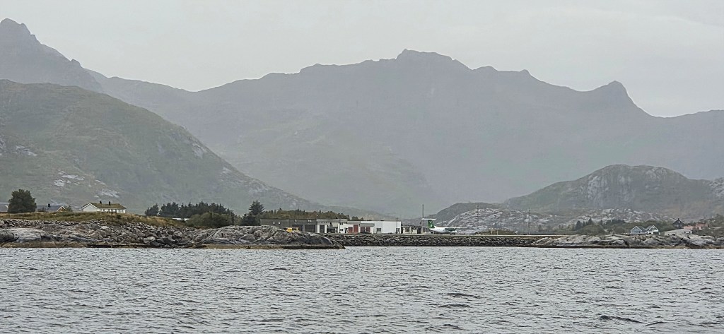
The Airport was quiet, just one plane parked up. It is served by Widerøe, a Norwegian regional airline. In 2025 almost 125,000 passengers passed through here, almost double the equivalent figure in 2021. But it is deemed too unreliable a service to bring HF parties here.
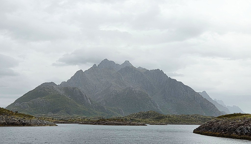
We approached a mini archipelago of small islets, splintering from the nose of a long, mountainous peninsula, a channel on either side.
The right hand channel leads to Trollfjord, before continuing north-eastwards until finally emerging at Hanøy, close to the island of Hadseløya. The left hand channel is a dead end, culminating in the village of Laupstad.
Sandwiched between the two, a few kilometres east of Laupstad is Higravtindan, the highest mountain on Austvågøya and in Lofoten, standing at 1,148 metres.
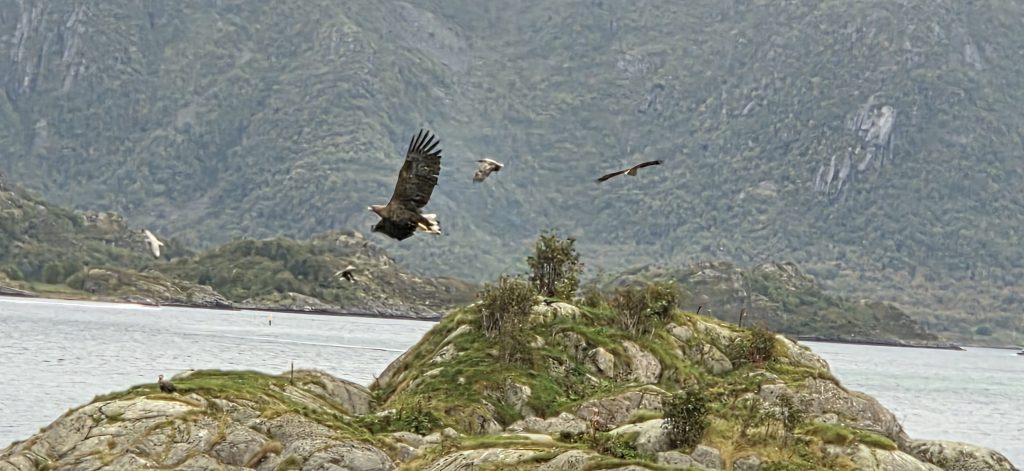
Several sea eagles were sitting upon these islets, most of them seemingly happy to rest. We tried, often in vain, to capture their limited aerobatics on camera.
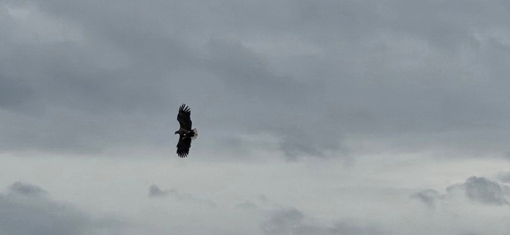
Sea eagles, also known as White-Tailed Eagles, are slightly larger than Golden Eagles, weighing up to 7kg, with a maximum wing span of 2.45m. They have broader, flatter wings, often described as resembling a ‘barn door’, and a white wedged tail.
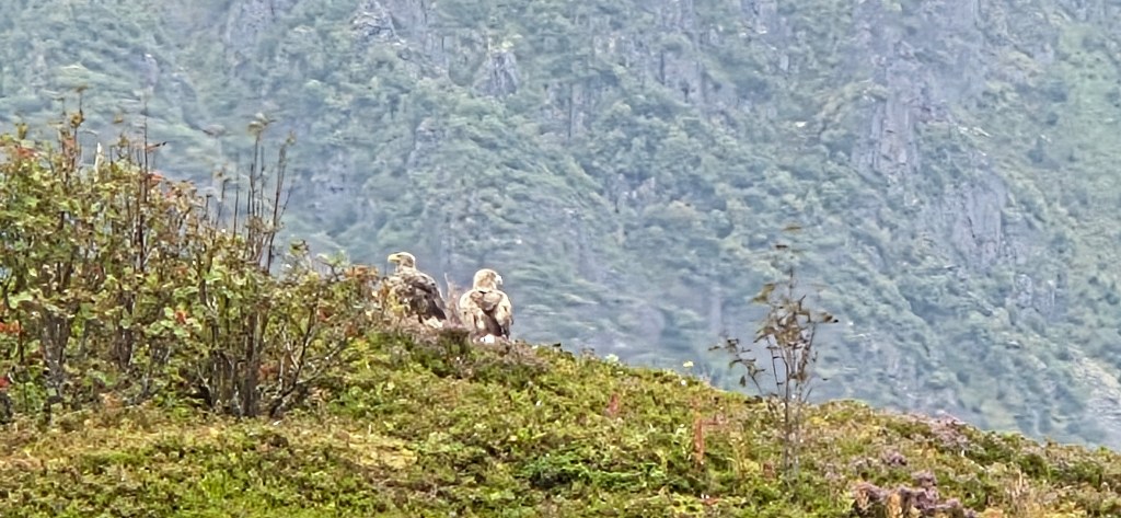
They were extinct in the UK from 1918, but were reintroduced in 1975, and there are now thought to be about 150 breeding pairs (compared with up to 500 pairs of Golden Eagles). Here in Lofoten, they are plentiful.
They are hunter-scavengers, feeding on fish, birds and carrion. They do not dive to catch fish, but snatch them from near the surface.
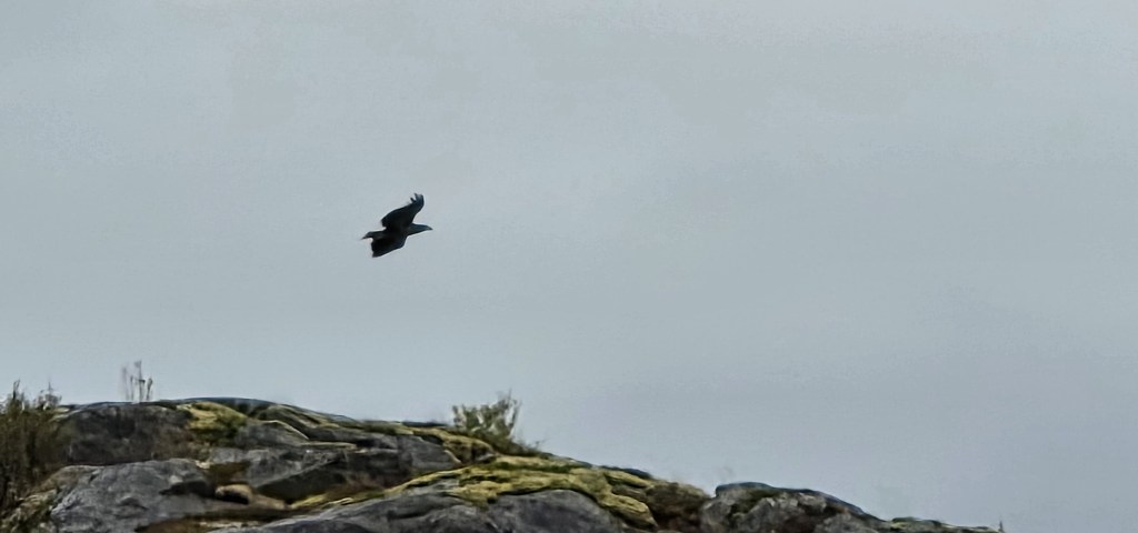
Their large eyries are typically built on sea cliffs or in trees near water and are used repeatedly. Birds pair for life and the female typically lays two eggs in March or April. Sea Eagles live 20-30 years in the wild.
Eventually we left them in our wake, continuing up the comparatively narrow channel between Austvågøya on our left side and the smaller island of Stormolla on our right.
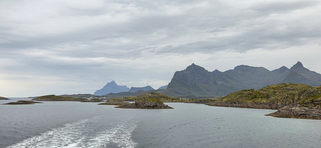
Stormolla, at approximately 35 square kilometres, has a tiny population of less than 20, most of whom live in the fishing village of Brettesnes at its southern tip. Yet the only ferry serves the northern tip, connecting it with the village of Digermulen on Hinnøya.
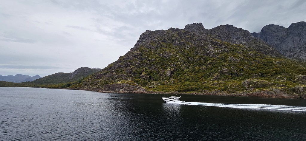
A fast motor boat zoomed past in the opposite direction, its wash causing us some disturbance. We passed an isolated pair of cottages on the port side. Just beyond, the mountains reared into the sky like jagged teeth.
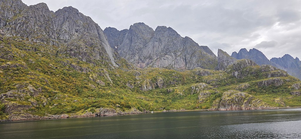
Opposite Digermulen there is a second fjord with an extremely narrow entrance, called Rørhopvatnet.
The land on our right side was now the island of Hinnøya, until we came level with the small islands of Brakøya and Ulvøya.
Brakøya was once uninhabited but now contains an:
‘ultra-exclusive private island retreat…made for guests who want total privacy, breath-taking nature, adventure, and understated, world-class hospitality’.
It is so exclusive that the cost is not revealed!
It began to rain again, so we went inside for a cinnamon bun and bottomless coffee.
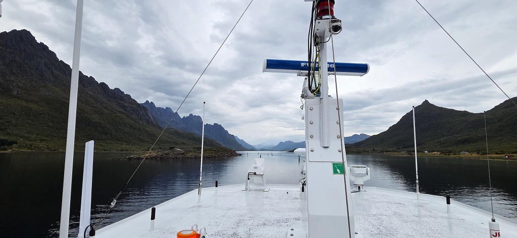
The entrance to Trollfjord is opposite the west coast of Ulvøya. As we swung round to enter it, a rib boat zoomed out at high speed.
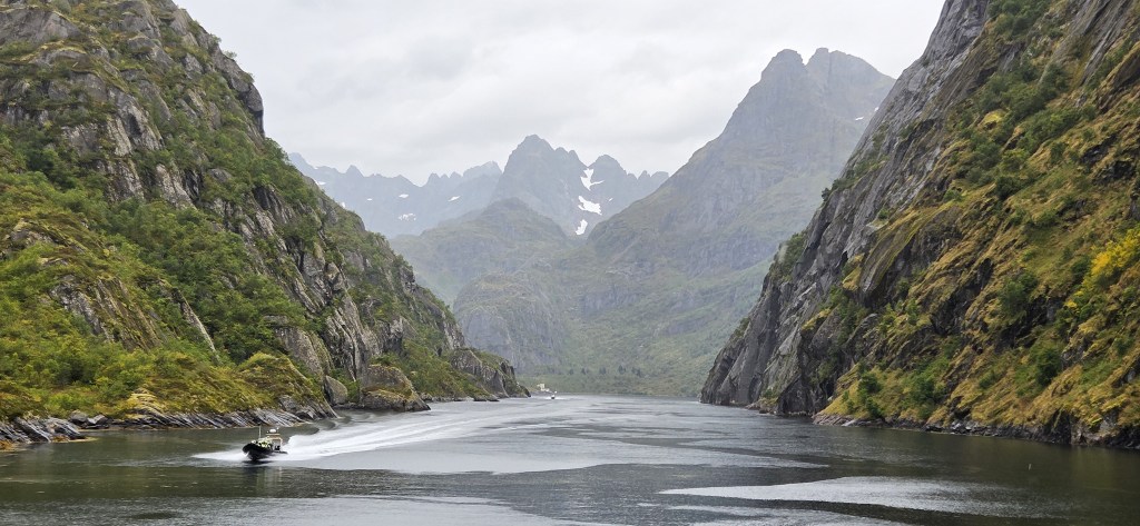
Trollfjord is a popular tourist destination owing to the fact that, while no more than two kilometres long, its entrance is only 100 metres wide, the bulbous end of this cul de sac surrounded by mountains.
We could see a glacier and several large patches of snow still lying upon Trollfjordtindan (830m), which sits on one side, and Tverrdalstindan (903m) on the other.
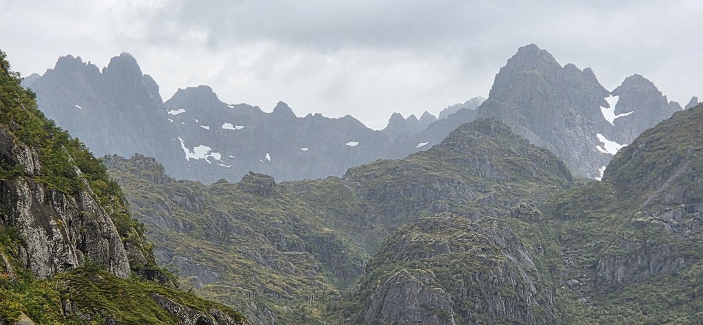
The derivation of Trollfjord is clearly related to trolls, which feature prominently in Norse folklore. They are vaguely humanoid, but live apart, sometimes alone, sometimes in small family units, often in isolated, mountainous areas.
They are typically unfriendly and unhelpful to humans.
One legend is that two trolls, named Vågakallen and Hinnøygubben, were quarrelling endlessly over which of them had the right to graze their cows on rich, local pasture. During one particularly violent dispute, Hinnøygubben lost his balance and, in falling, accidentally split the rock with his axe, so creating Trollfjord.
It has a maximum depth of about 70 metres and, at its end, there is a hydro-electric power station, operated by Nordkraft, which opened in 1952.
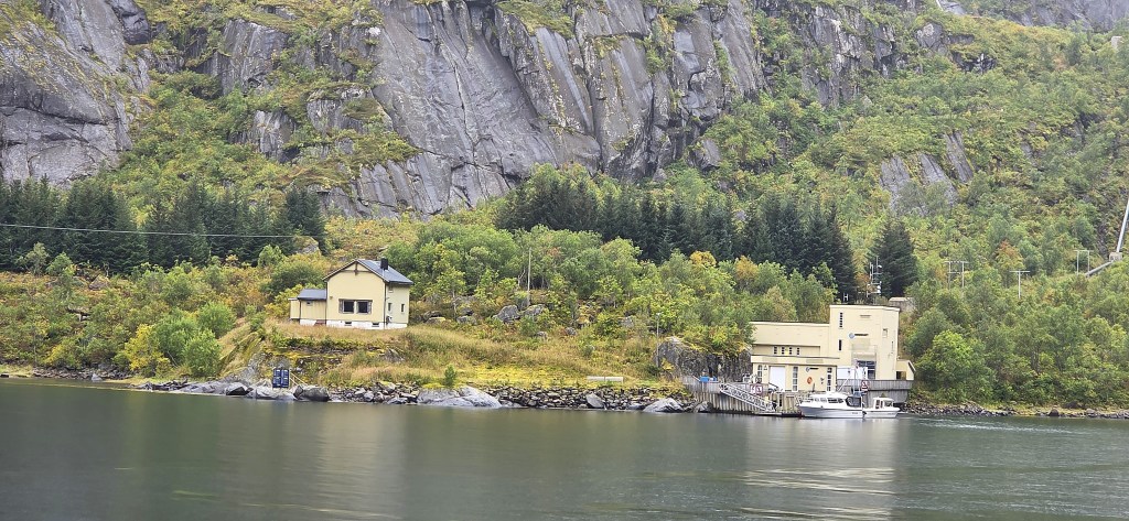
According to Nordkraft, it generates 17 gigawatt-hours of energy, sufficient to power around 1,500 homes for a year.
As noted above, the 1890 confrontation between small-time Svolvaer fishermen and the larger trawlers own by big fishing companies allegedly took place inside Trollfjord.
It seems unlikely, but the story goes that, in 1890, huge numbers of arctic cod headed up Raftsundet, a route they did not usually take.
On 6 March, steam trawlers closed off the end of Trollfjord with their nets, infringing the fishing rights of the smaller fishermen. Those aboard the steam trawlers demanded payment, but it was refused and a fight ensued.
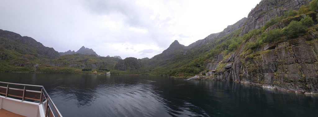
Gunnar Berg was said to have witnessed the confrontation, conveniently armed with a sketchbook, aboard his father’s boat.
Passing Hurtigruten services make a brief detour into Trollfjord, and even medium-sized cruise ships also venture in. A decade ago it was used as a location by the science fiction film ‘Downsizing’ starring Matt Damon.
It failed to recoup its $70 million production budget, earning only mixed reviews.
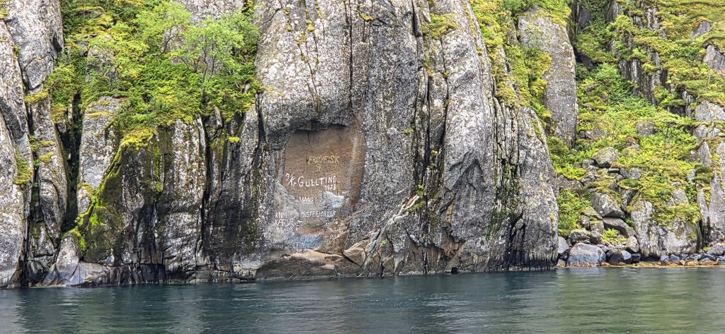
I was surprised to see graffiti on the walls here, some of it as recent as the 1990s and 2000s.
While we lurked in the fjord, two more rib boats entered and began luring sea eagles with food. A handful responded, but they were hard to pick out against the cliffs.
We departed, pushing back along the Raftsundnet towards Svolvaer.
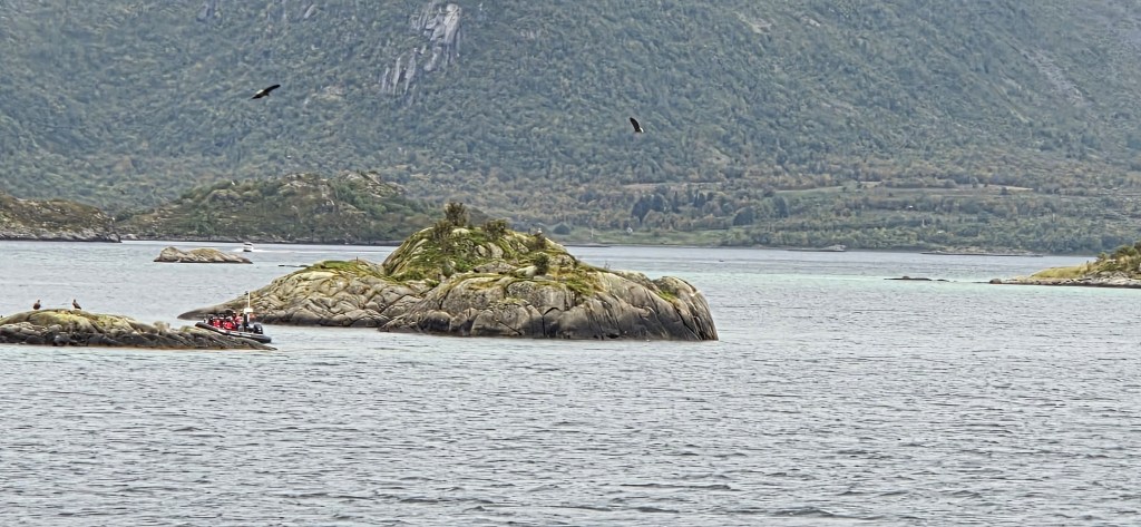
We encountered several more rib boats and many more eagles off the coast of Stormolla, slightly east of where we had paused on our outward journey. I enjoyed watching them wheeling and swooping, silhouetted against the sky.
As we returned past the Airport, a helicopter hovered above, finally dropping to the ground.
When we reached Svolvaer, we found a seagull perched on the head of the Fisherman’s Wife, and runners still completing the Lofoten High Five.
That afternoon we walked the surprisingly long distance round the headland to see the Fisherman’s Wife from land, passing Gunnar Berg and the German battery on the way.
We had already retired for an early night when the fire alarm sounded and we were told to evacuate the building. I stupidly forgot our passports. Then, on the way downstairs, we were advised that everything was under control, so returned to our rooms.
Perhaps it was a bad omen.
Day 5: Hadseløya – and Disaster
Hadseløya isn’t strictly part of Lofoten, but belongs to Vesterålen, a separate archipelago located just to the north.
However, Vesterålen shares some of its islands with Lofoten. The larger islands exclusively within Vesterålen are Langøya, Andøya and Hadseløya, but it also also takes in the western part of Hinnøya and the northern part of Austvågøya.
We would travel by coach to Fiskebøl, on the northern coast of Austvågøya, where we would travel by car ferry directly across to Melbu, on the southern coast of Hadseløya.
From Melbu it would be a short coach journey to our starting point near the Ånnstad Valley.
Our two options were:
- an easier eight kilometre walk along the floor of the Ånnstad Valley, past a series of small lakes, before ascending the hill of Barheia (327m) and then descending back to Melbu; or
- a more challenging ten kilometre walk, with an initial ascent to a high plateau, followed by a further ascent to the summit of Palheia (413m), then returning down to Melbu.
While contemplating all this, I sampled the smoked whale meat.
The weather was likely to be overcast, possibly with cloud over the summits. It was raining in earnest as we boarded the coach, anticipating a wet start.
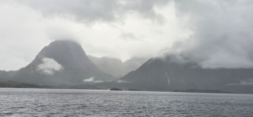
Although the rain had eased by the time we reached the ferry terminal, the cloud was draped forbiddingly low across the hills.
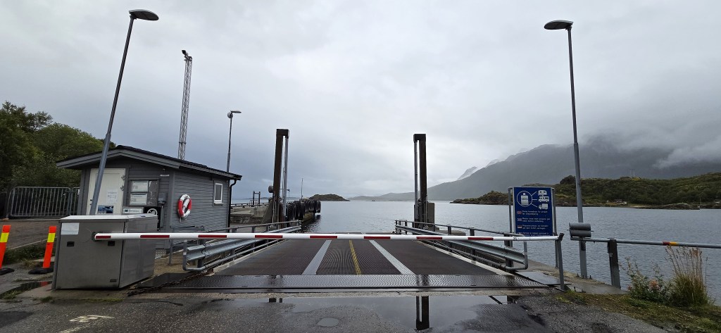
We had arrived half-an-hour early for our 10:30 crossing, but soon saw the ferry approaching, its huge jaws yawning well before it had docked. (There was some discussion afterwards about the legality of such a manoeuvre.)
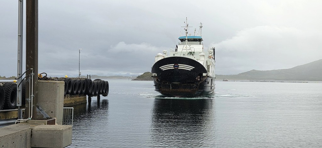
We walked aboard and climbed the steep steps to the saloon. It was surprisingly well appointed given that the journey was so brief.
Stepping outside, we watched the cloud still wreathing about the mountains behind us.
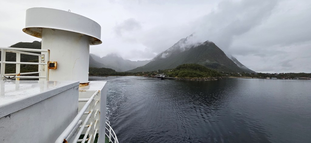
Hadseløya has an area of about 100 square kilometres. Aside from Melbu there is a small town called Stokmarknes on the northern coast. A bridge connects Stokmarknes with the neighbouring island of Langøya. The total population is 6,000 or so.
Richard With (1846-1930) founded a ferry service, Vesteraalens Dampskibsselskab, at Stokmarknes in 1881 and, a decade later, conceived the idea of a year-round passenger service along the Norwegian coast.
In 1893 the Norwegian Parliament agreed to fund Hurtigruten, a one ship express service running between Trondheim and Hammerfest, with nine further stops (including Svolvaer) in between.
Stokmarknes now contains the Hurtigruten Museum, which opened in 1993.
It is also the location of Vesterålen’s hospital and is the home town of Norwegian alternative rock band Madrugada.
Melbu has a substantial fish processing industry. The former Neptun Herring Oil Factory, founded in 1910 and closed in 1987, is said to house a Norwegian Fishing Industry Museum, though the Museum Nord (which runs it) is rather unclear whether it is still open.
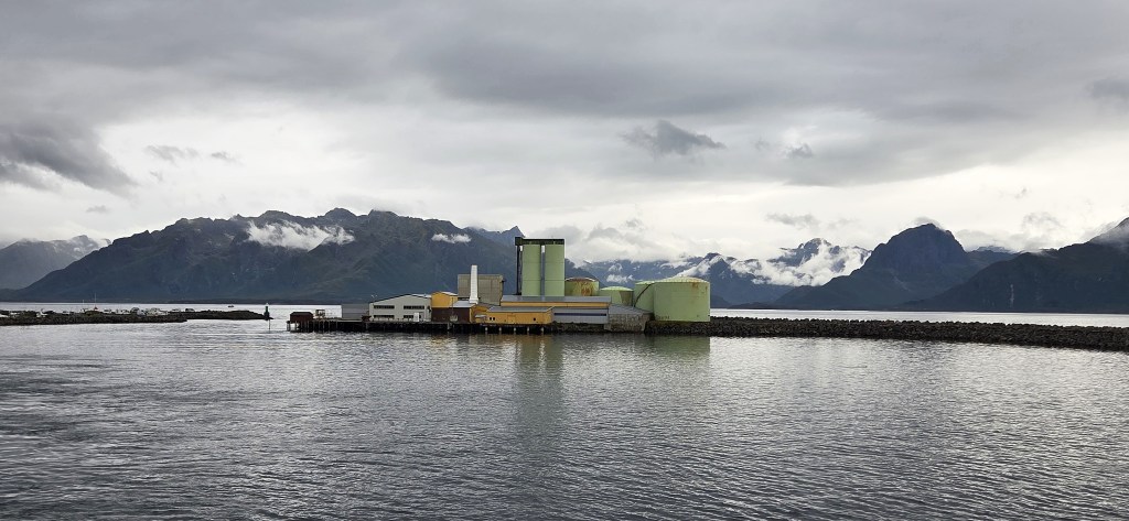
There are guided tours of the site, though, and concerts held inside a former herring oil tank! For Melbu has hosted an annual festival ‘Sommer-Melbu’ since 1986.
The Factory sits on a spit of land protecting one side of the harbour, so is clearly visible as the ferry approaches and departs Melbu.
Museum Nord also oversees Melbo Manor, the former home of Melbu entrepreneur and businessman Christian Frederiksen (1865-1929). The manor house, once one of the largest wooden buildings in Northern Norway, sits in an English landscape garden.
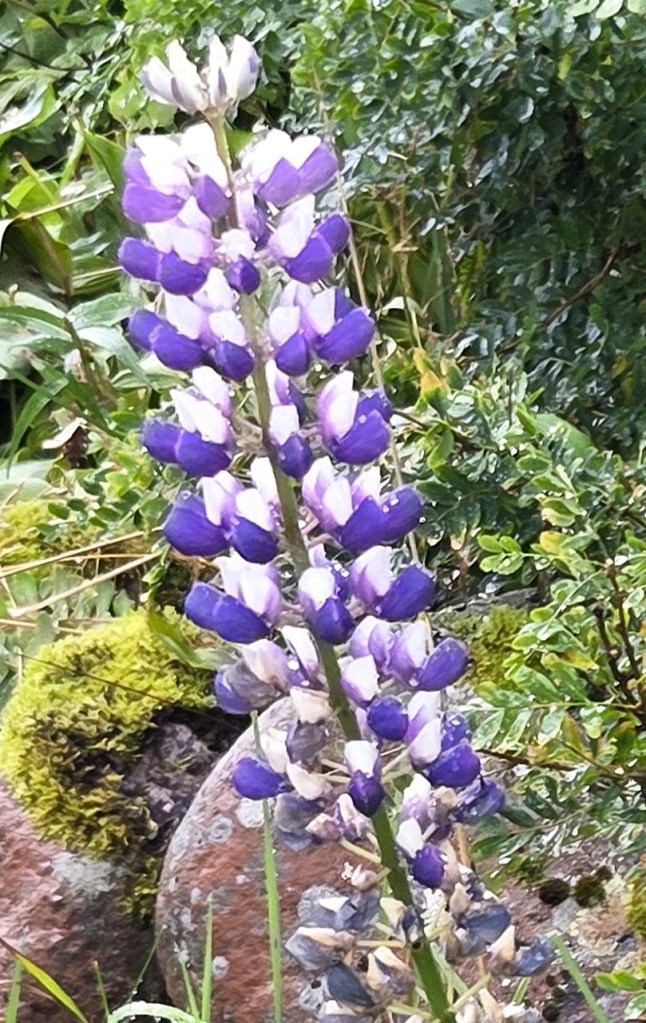
Christian Frederiksen’s eldest son and heir, Gunnar Frederiksen, inherited Neptun and also started his own factory in 1941. Unfortunately it was financed by the Nazi occupiers.
Consequently, all of his and his companies’ premises were confiscated by the Directorate of Enemy Property after the War. Gunnar was waiting to stand trial for collaboration with the enemy, but died beforehand.
Rejoining our coach, we passed swiftly through Melbu and along the Yttersida road to our drop-off point.
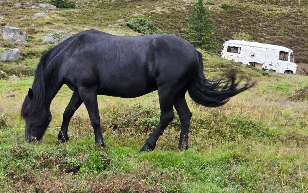
After studying the route map, we were soon under way, passing two inquisitive and skittish young horses, grazing close to a discarded motor caravan.
Those undertaking the more challenging walk branched off left, following a parallel track, single file, slightly higher up the valley. We could still see the others continuing along the valley floor.
I was walking near the head of the group with two or three others. Suddenly, I heard a cry behind me and, looking back, saw a body fall to the right, on to the downslope. Having hit the ground, the legs twisted and twitched before the body lay still.
Doubling back, we found that it was Katie, our guide. She was obviously in considerable pain. We managed to signal Kevin, who was just about to disappear below.
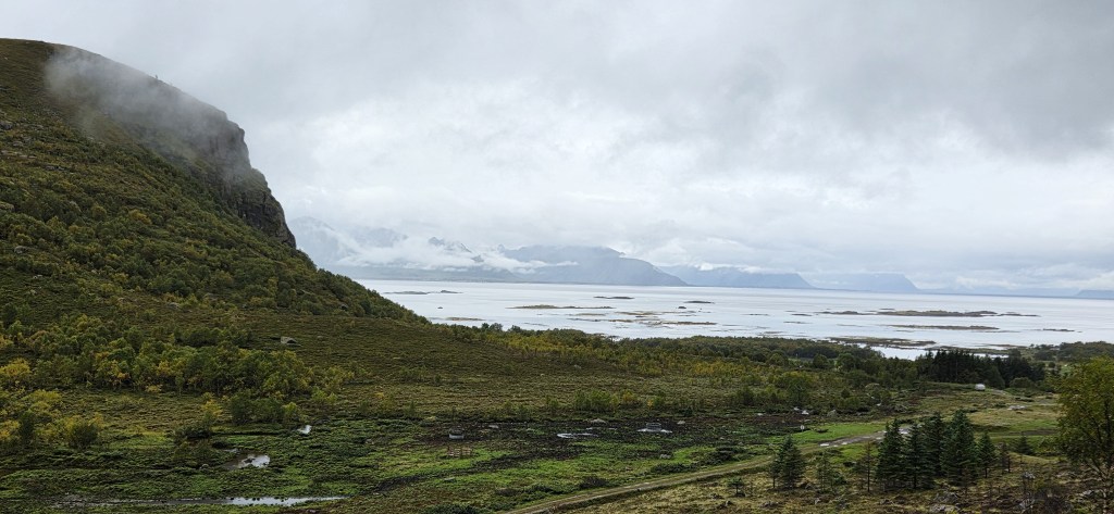
It seemed that Katie had tripped over a tangled root and, in falling sideways, her body had collided with a large rock. The emergency bivouac was erected and first aid administered, while Kevin called the emergency services.
We made room for a runner who passed along the track. He stopped and, after some conversation, told us about the time he had self-administered morphine, having broken a limb. Then he continued on his way.
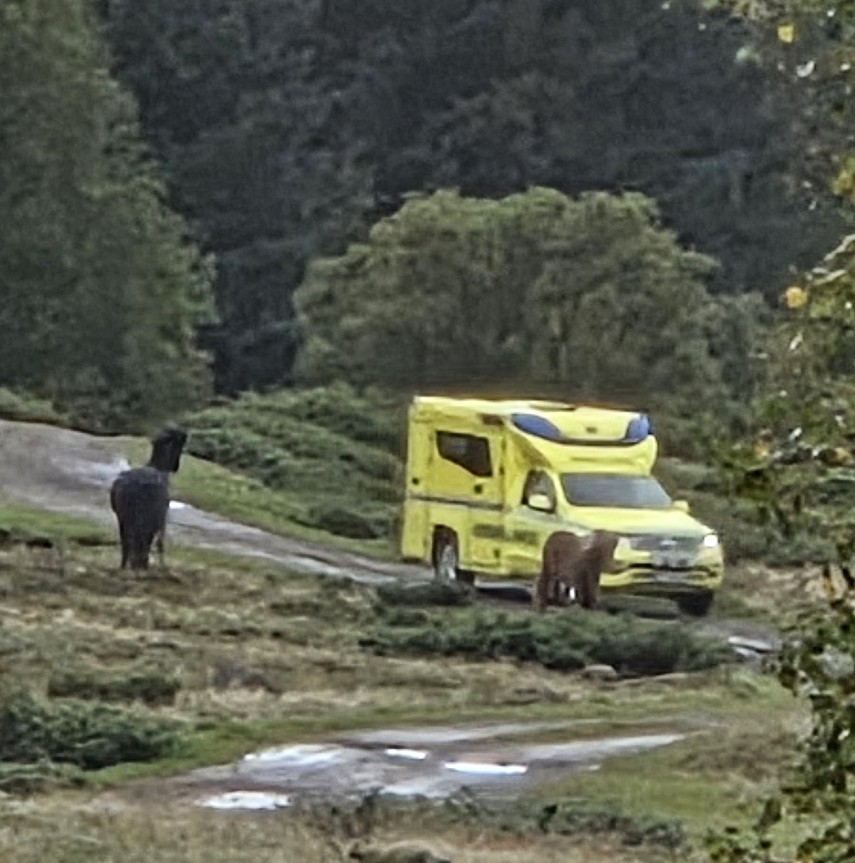
Almost exactly an hour after the accident, a small yellow ambulance appeared, and was welcomed by the two curious horses. After consultation with Kevin, two ambulance persons arrived with an inflatable stretcher.
They administered pain relief and then, with some difficulty, we managed to roll her on to the stretcher and carry her 150 metres down the narrow track to the ambulance.
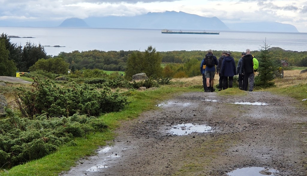
By the time the ambulance had disappeared towards the hospital at Stokmarknes, it was past 13:00. We convened at the point where the coach had dropped us, awaiting the driver’s return, tucking into our picnic lunches and watching a robot lawnmower at work in someone’s front garden.
By 13:45 we had been dropped back in Melbu, with instructions to entertain ourselves until it was time to board the ferry. Meanwhile, Kevin dealt with the Hospital and with HF HQ.
The two of us decided to wander westwards through suburban Melbu, until we reached the coast.
But houses seemed to be monopolising the coastline though, just occasionally, we caught tantalising glimpses of the Norwegian Sea. We had discovered a slice of middle class suburbia, North Norway style.
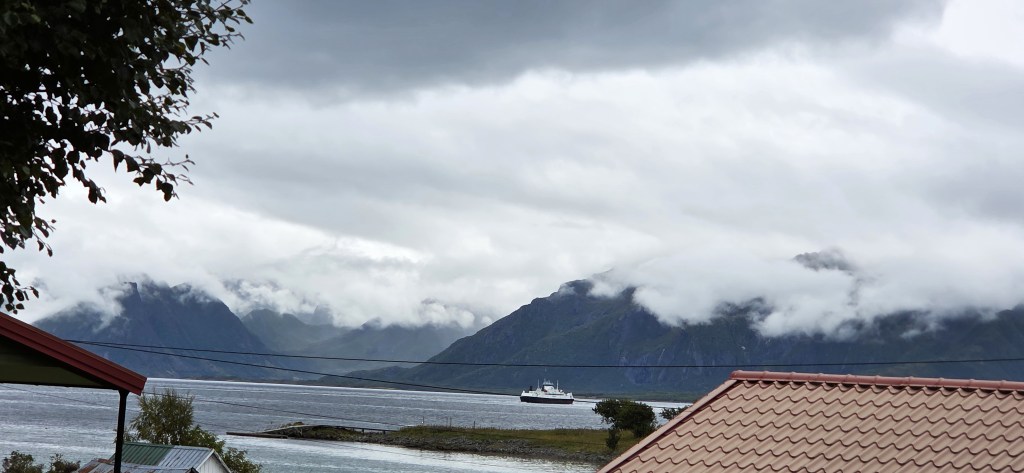
Sunday was clearly the day on which all robotic lawnmowers in the district were set to work, but very few humans were about. Perhaps they were watching Sunday afternoon sport on television, or else visiting their relatives for Sunday lunch.
Eventually we found our way to a sheltered sandy bay opposite a small island. There was a picnic bench, the remains of a fire and a notice in English. The area is known as Hersandbukta.
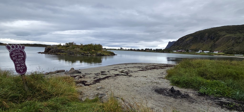
Here we swallowed what remained of our lunch before strolling along the beach and on near the small Haug cemetery.
Soon we had no option but to rejoin the road, which we followed for a while before retracing our steps. We wandered towards the harbour entrance, but made another U-turn as we approached a large cold storage facility.
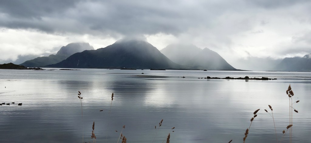
We found many of our party already ensconced in the only open café, clearly the centre of Melbu social life on a gloomy Sunday afternoon. Tracy bought a posh gelato but I opted for a ‘softy’, receiving a huge mountain of ice cream, just balancing on top of my cone.
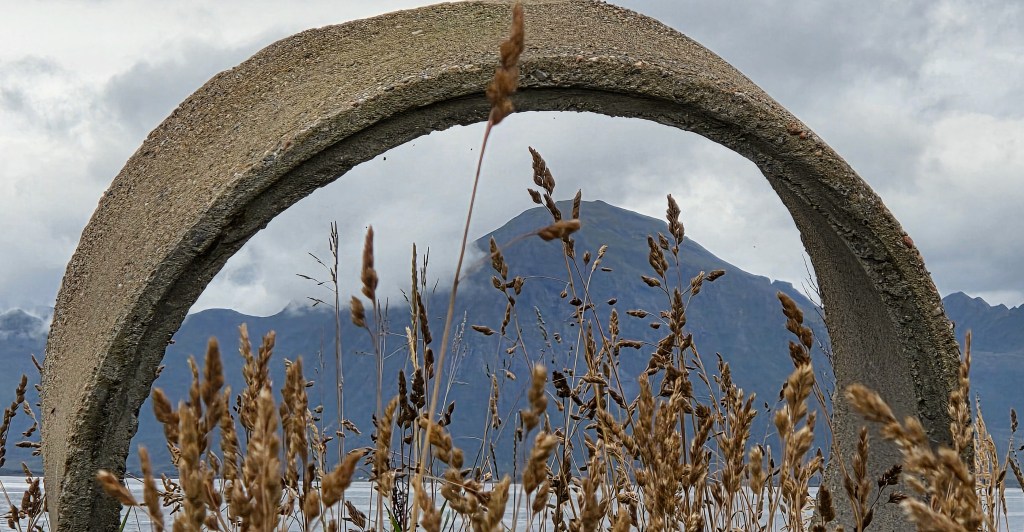
We sat on a bench outside, watching a local magpie climbing into the waste bin in search of tasty morsels.
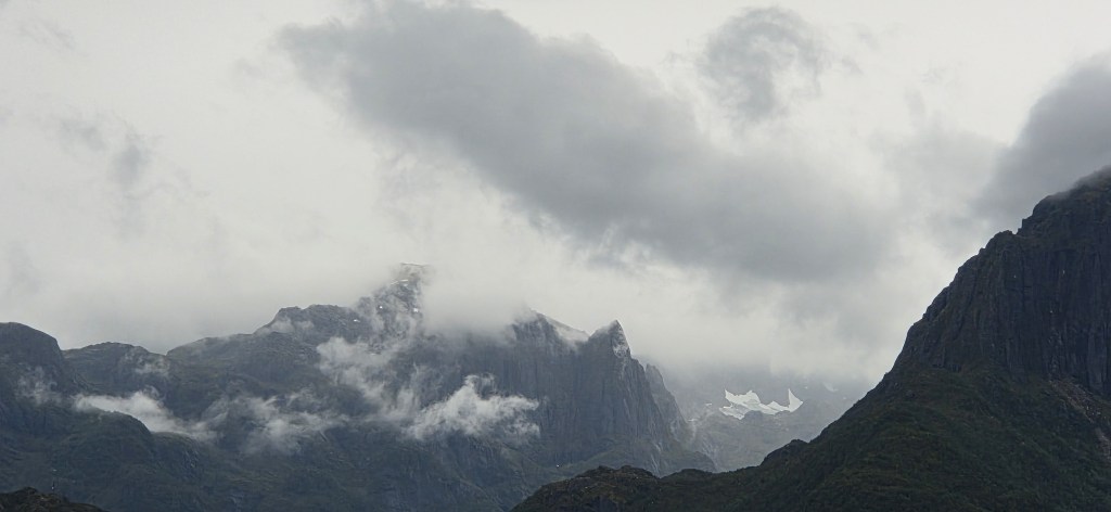
Returning to the terminal in time for the 16:30 departure, we climbed back aboard the ferry, standing outside to enjoy another view of the mountains of Austvågøya, still wreathed in cloud.
We were a little subdued as we assembled for our pre-dinner walks briefing, now led by Kevin alone. He was clearly exhausted, having been tied up in discussion with HF, the Hospital and the Hotel since our return.
We learned that Katy had broken her pelvis and dislocated her hip. The hip had been relocated, but it was thought likely that she would be repatriated to an English hospital for further treatment.
Kevin said it was ‘99.9% certain’ that he would have to lead the remainder of the holiday by himself.
Even if the UK-based guides for the following week had been available, they couldn’t have reached us before Monday evening. Apparently, a local replacement could not be found.
We resigned ourselves to having no choice of walk on the two remaining walking days, Monday and Tuesday. Kevin would have to offer the easier option since, otherwise, some guests would be unable to walk.
Those of us looking forward to the more challenging climbs would be disappointed, but there was no point complaining. ‘It was what it was’, as the annoying phrase goes (except in the present tense).
We all tried hard to make the best of a bad situation but, despite our efforts to remain positive and upbeat, it all felt rather flat.
Many of us were thinking how reckless we had been with our own safety, and vowing to change our ways.
Day 6: The Apnesfjellet Ridge
Monday’s walk choices had both involved catching the coach beyond Leknes, not far from Stamsund, in the south-east corner of Vestvågøya:
- The easier option involved ascending to the Apnesfjellet Ridge before descending past two lakes into Stamsund and concluding in a local hotel. This 11km walk included some 420m of ascent/descent.
- The more difficult option would have been an ascent of Justatinden from the Hagskaret Pass, not far from Leknes, 12km long. Justatinden, standing at 738m, is the highest mountain on Vestvågøya’s eastern side and its summit would have been the highest point we had reached during our holiday by a comfortable margin. Had the tops been clear of cloud, we would have enjoyed magnificent views across Vjestforden towards the mainland.
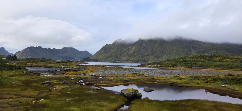
Now, however, that second option had disappeared. All but two of us climbed aboard our coach at 09:00 and travelled along the E10, repeating much of the journey we hade made to Holandsmelen and Haukland earlier in the week.
Reaching Leknes, we turned on to the 815 road, heading east towards Stamsund, before turning south towards Apnes, following the coastline. Initially we missed our drop-off point and had to turn about to find it.
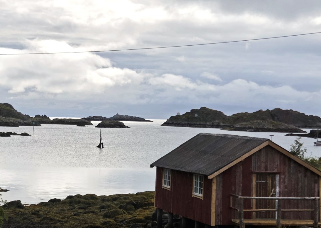
Because we had a large group with very different speeds of ascent, it was inevitable that we became strung out on the ascent to the ridge. But there were pleasant views once we reached the grassy plateau.
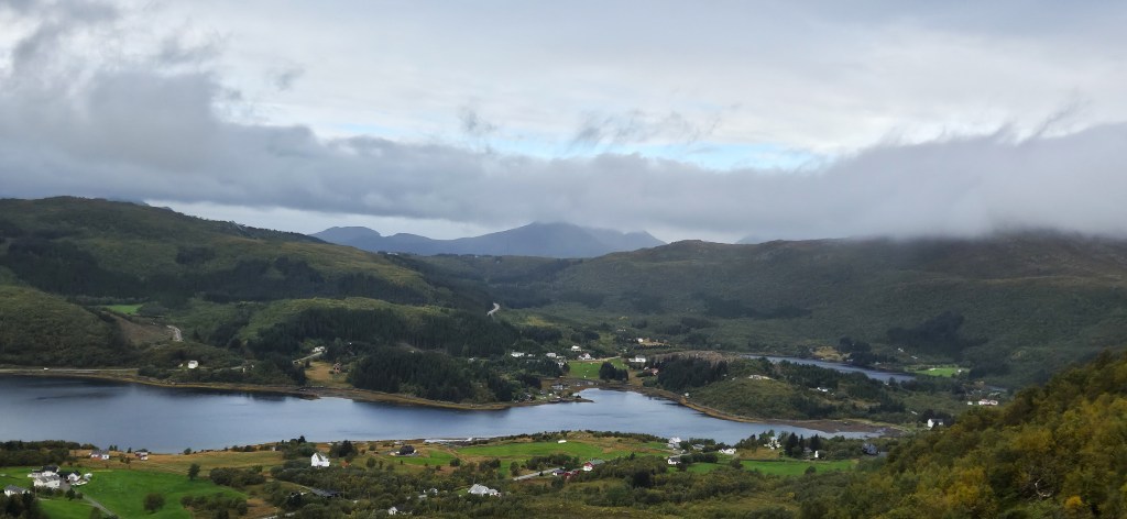
We took coffee near a bench, looking down upon the length of Storfjordvika and the two small lakes just beyond called Storfjordvatnet and Ner-Storfjordvatnet.
At the opposite end of Storfjordvika, we could see a string of small islands and the village of Ure.
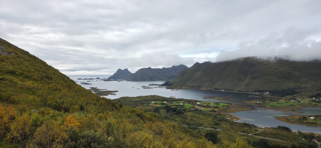
By midday we were being treated to occasional patches of blue sky.
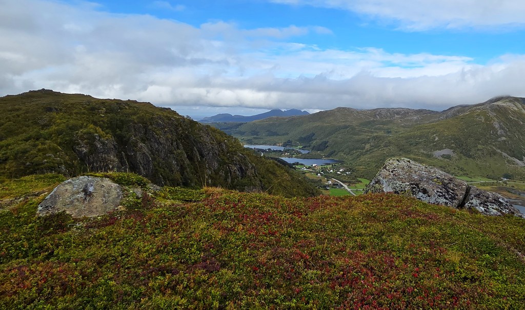
We were slightly comforted by the fact that, whenever we checked, the summit of Justatinden seemed obscured by cloud.
We had our lunch close to the top of a ski-lift belonging to the Lofoten Snowboard and Alpine Centre. A small red hut contained an intriguing red button, presumably to stop the ski-lift when necessary.
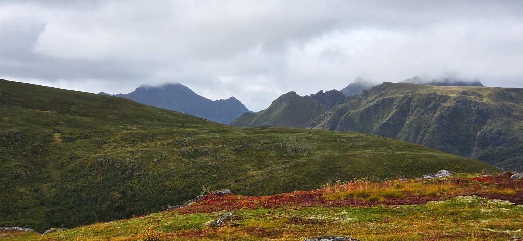
After lunch we climbed the last few metres to the ‘summit’ where we enjoyed the best views of the day.
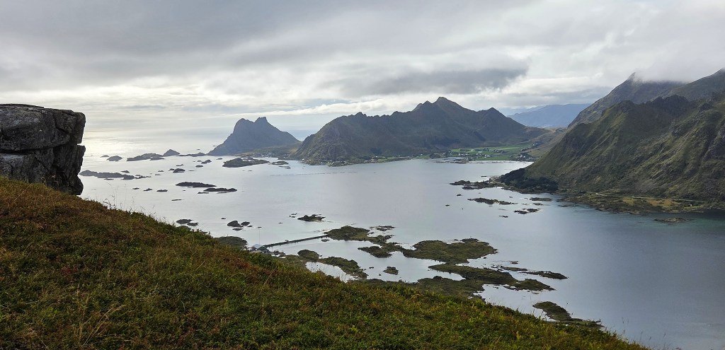
Stamsund lay spread out beneath us, the two roundish Svarholtvatnet lakes sitting above it.
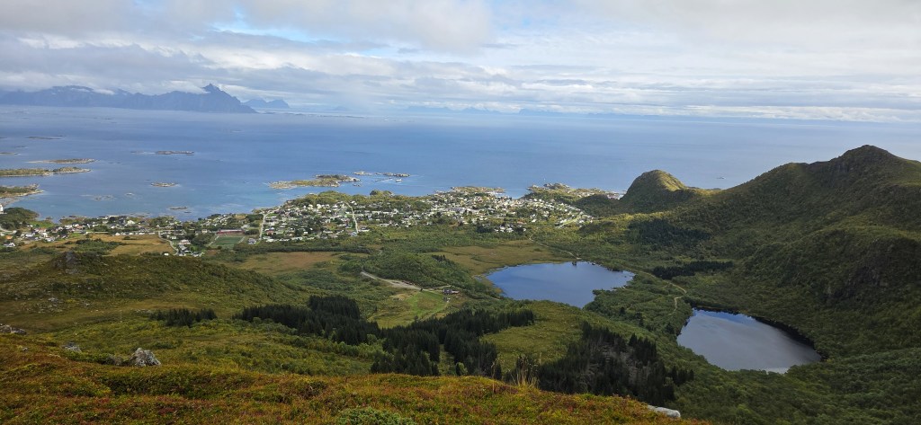
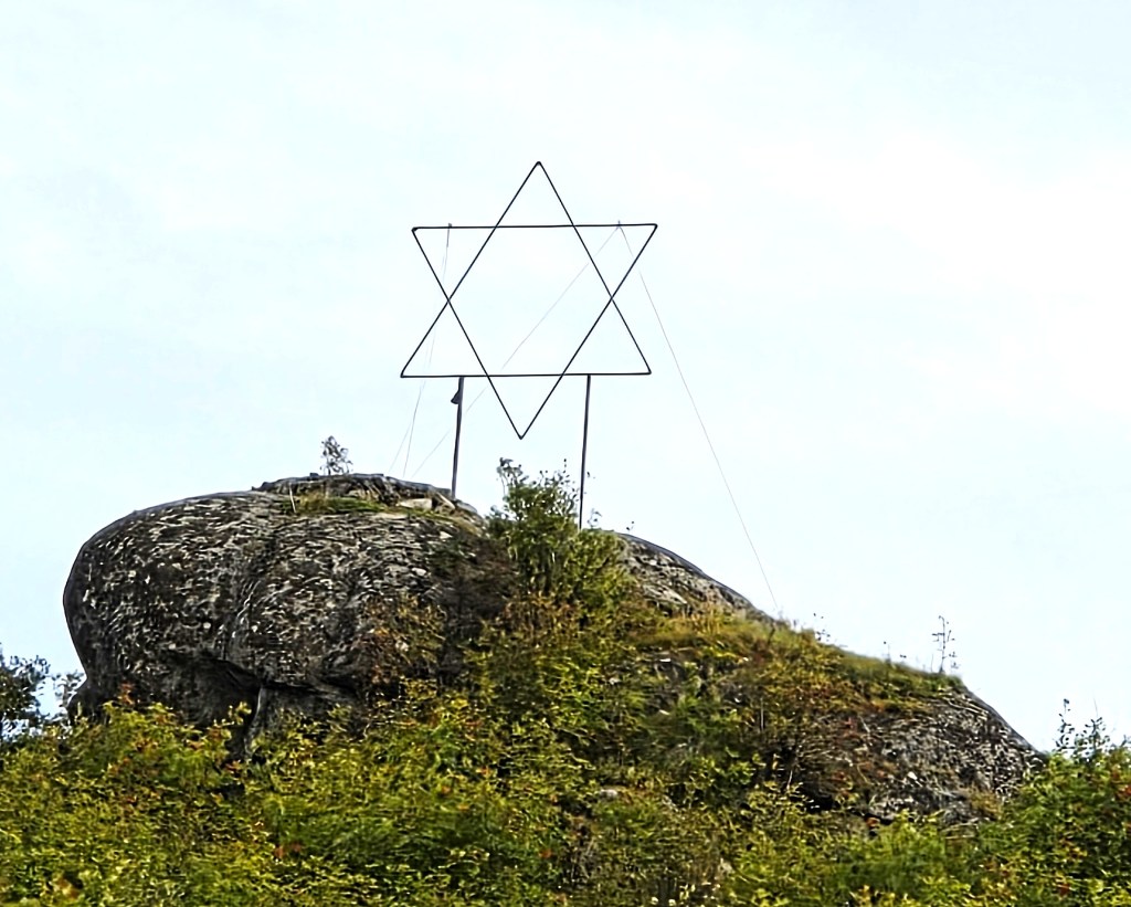
Our descent lay in that direction and, on reaching the Alpine Centre, we continued into Stamsund, passing this six-pointed star perched on a rock.
Stamsund is a substantial fishing village with a population of some 1,100 people.
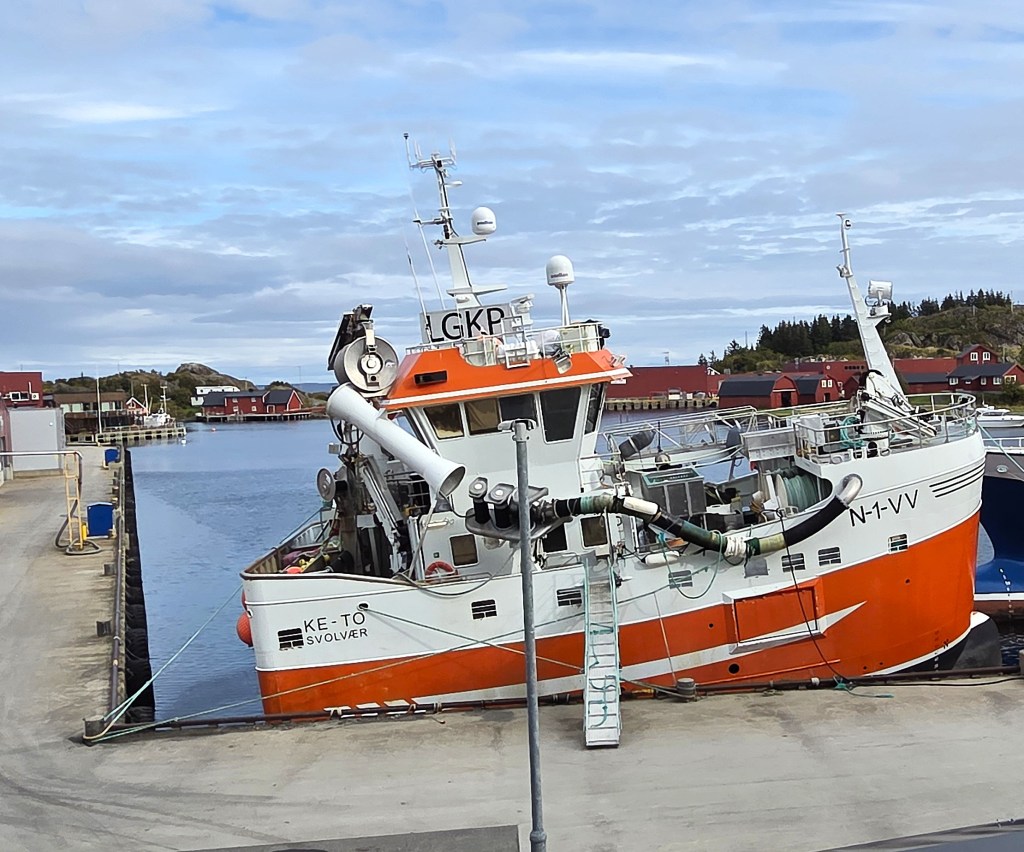
We passed this rather fetching stubby orange trawler, KE-TO, registered in Svolvaer. Slightly less than 21 metres long and nine metres wide, it was launched in 2021.
Stamsund was another target of Operation Claymore in 1941. Nowadays, it hosts an annual International Theatre Festival. There are also two local theatre groups and a puppet theatre.
We made our way to the Live Lofoten Hotel, Kevin having called ahead to warn them we were coming. Even so, they didn’t seem quite ready, with only one person available to deal with all our orders, but everyone managed to get a drink of some kind eventually.
We rejoined our coach and returned to Svolvaer via the 815 coastal route, along the eastern edge of Vestvågøya. The early evening weather was the best we’d had all day.
Day 7: Skrova
Once again, the harder walk had to be sacrificed, though there had been comparatively little difference between the two options originally planned for this final day.
Both groups were to have walked from the Hotel to a Svolvaer ferry terminal, from where they’d cross on foot to Skrova:
- The easier walk, 5km long, departed from the ferry terminal on the Skrova side. Passing round the harbour, it followed a track to the beach at Hattvika, then a second track to Merrivika Bay on the other side of Skrova, before climbing the small hill known as Litl Stappen and returning to the harbour.
- The harder walk, also 5km, followed the same route to Hattvika before ascending and descending the somewhat higher hill of Hogskrova (281 metres) and following the track to Merrivika Bay before returning to the harbour.
Unfortunately it was now 1 September and the ferry times had changed since the end of the summer season (31 August), so we had to be at the terminal in time to catch the 08:30 sailing, which meant leaving the Hotel at 07:45.
Since breakfast was available from 07:00 (not 06:30 as indicated on the notice outside its entrance) there was very little time to enjoy it.
Seventeen of us decided to join the walk; the remainder making their own, alternative arrangements.
We had all registered in advance online to use the ferry, since we were supposed to flash a QR code when boarding, but no-one asked us to do so. The ferry is free for passengers and customers alike.
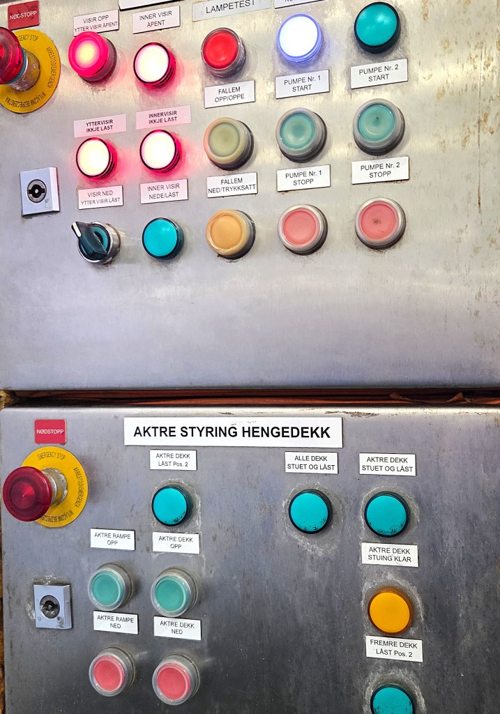
It was still displaying the summer timetable, alongside several alluring buttons, some illuminated.
The ship serving this route is the Hornstind, almost 70 metres long with capacity for around 50 cars.
But only a handful of vehicles drove aboard, plus a huge white Lopack lorry. It had reversed on to the car deck so was pointing in the wrong direction.
It was a dull morning, but we left the comfort of the passengers’ cabin to enjoy the approach.
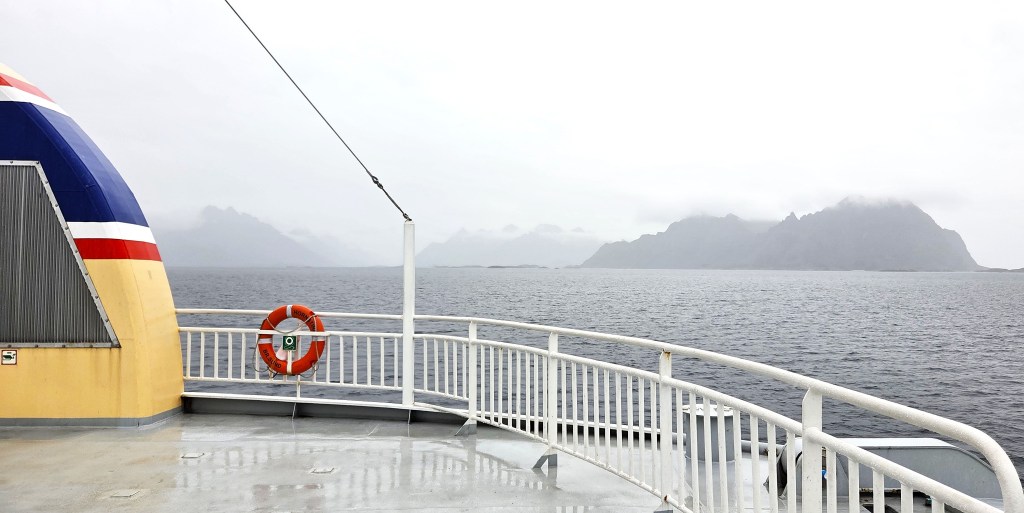
Skrova lies almost due south of Svolvaer, part way across the Vestfjorden, a journey of about nine kilometres, taking no more than 30 minutes by ferry.
There is actually a small group of islands. Heimskrova is by far the largest, though the fishing village, itself called Skrova, is spread across parts of several islands and concentrated upon neighbouring Skrovøya, where the ferry terminal sits.
To the starboard as we approached we could see Skrova Lighthouse, perched on the neighbouring island of Saltvaersøya.
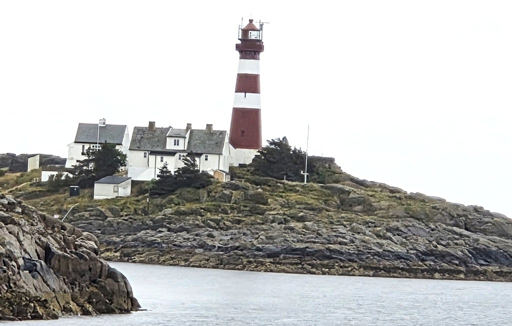
The cast-iron tower, 24.5 metres high, was constructed in 1922. The lighthouse was electrified in 1951. Before automation in 2005, it was the last manned lighthouse in Nordland.
There is a detached cottage for the lighthouse keeper, two semi-detached residences for his assistants and ruined German fortifications from WW2.
These days, if the weather permits, it is possible to visit, or even to book an overnight stay. There are eight rooms, a pub and a restaurant.
As we pulled into the terminal, the Lopack lorry reversed off, past a smaller version of Svolvaer’s Fisherman’s Wife (who was being harassed by another robotic lawnmower) and backed up to a factory.
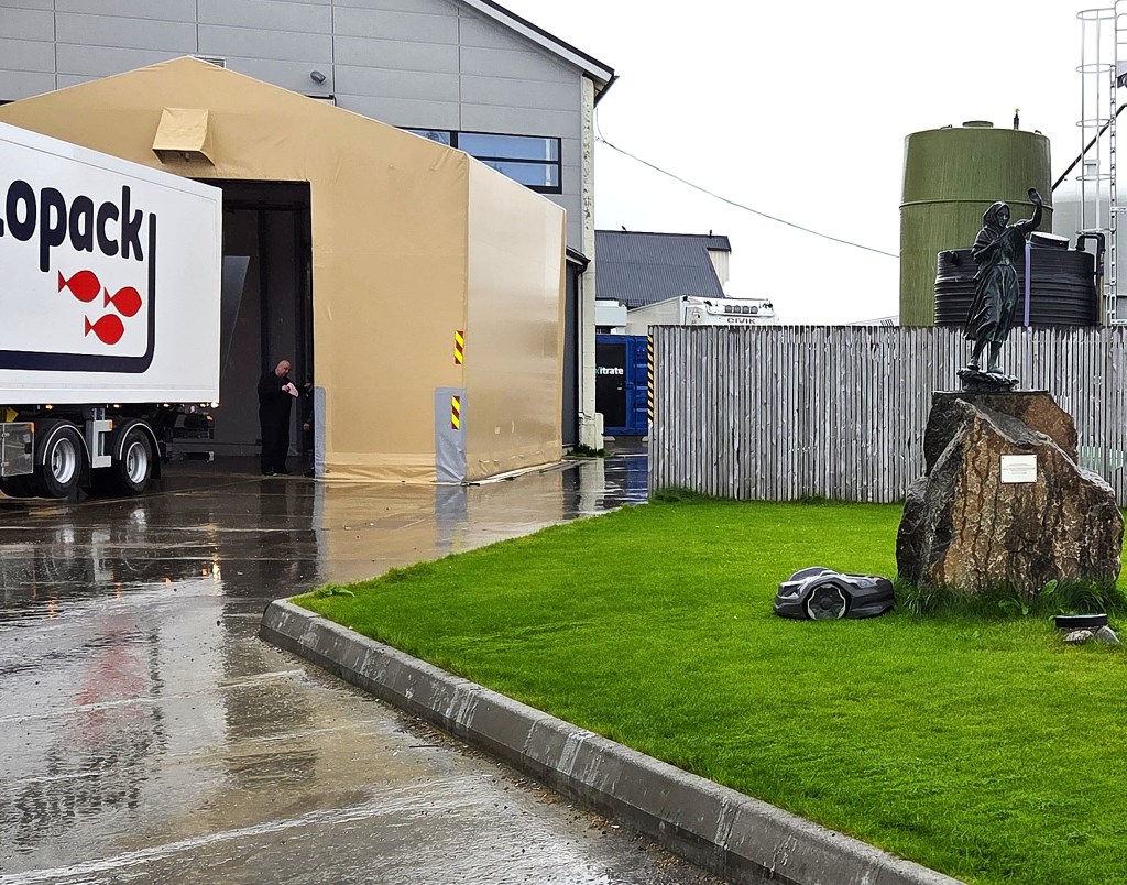
This is Ellingsen Seafood, founded in 1947. It dealt initially with whitefish and herring, before turning to whales in the late 1950s, acquiring a reputation as one of Norway’s largest whale and blubber processors.
In 1976 it began farming salmon in Skrova Harbour, later expanding to incorporate five more Norwegian sites, as well as a farm in Shetland and one on the eastern seaboard of the United States.
The Skrova facility is a salmon slaughterhouse, processing and packing plant, with a daily capacity of 75 tonnes and annual production of 15,000 tonnes. It has 33 employees.
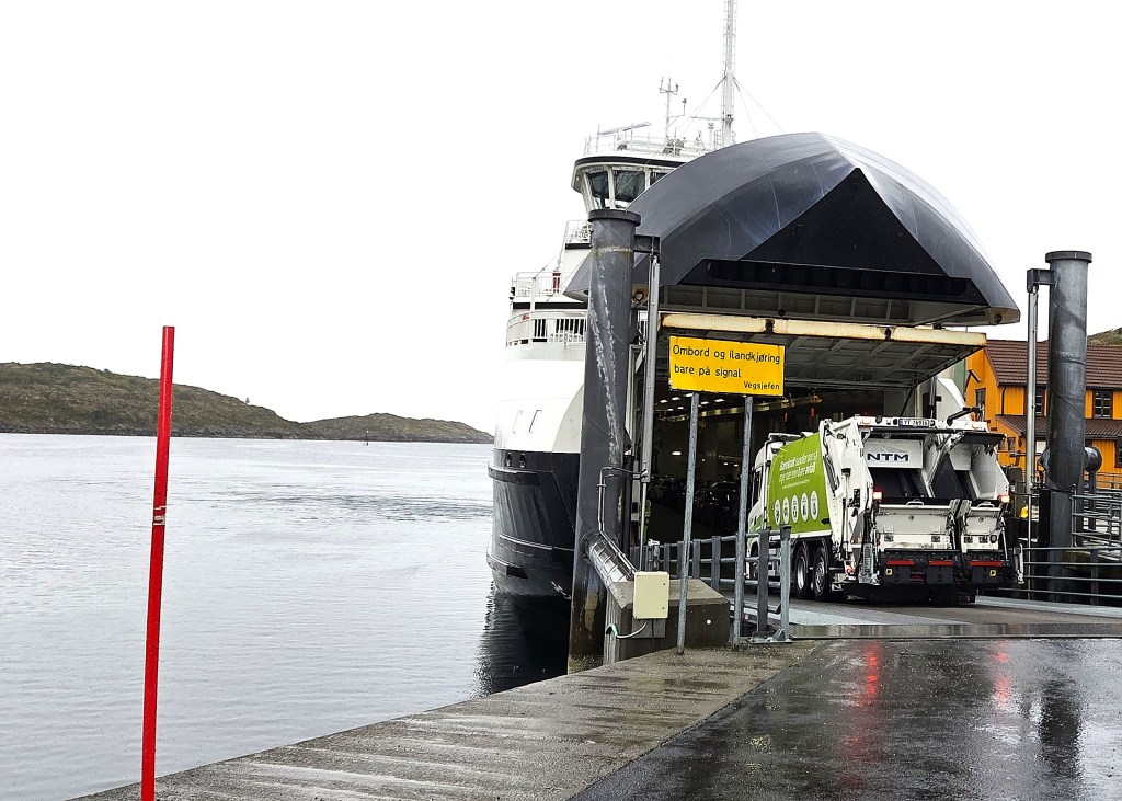
Skrova village, which has around 180 inhabitants, had just had its recycling collection. We watched the vehicle drive on to the ferry for its return journey, before continuing along the road past Ellingsen’s.
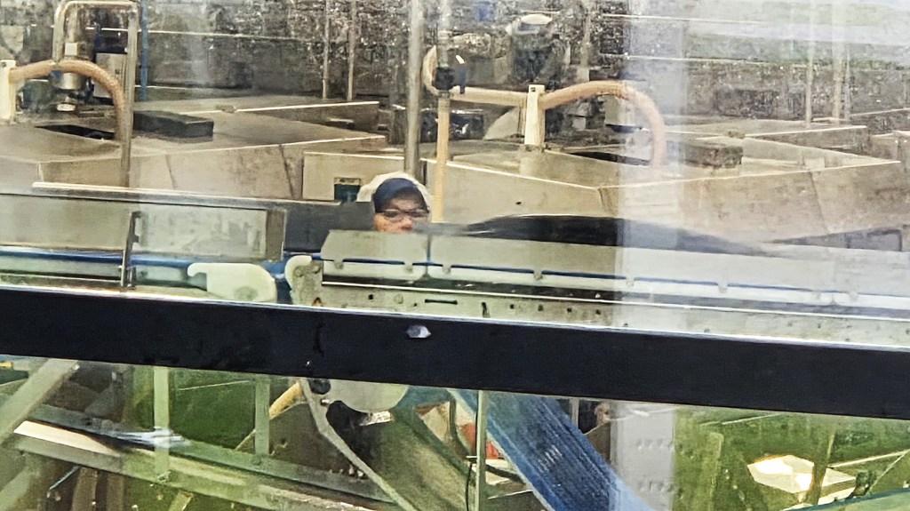
Through the windows, one can watch the dead fish flop onto the conveyor belt, on their way to the gutting station.
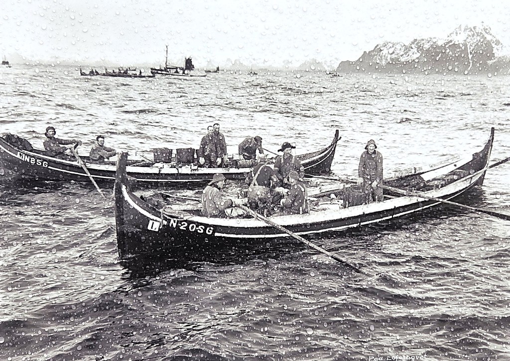
A little further up the road, we stopped beside one of several photographic displays in and around the village. They are organised by Skrova Outdoor Photo Spot (SOPS), a voluntary organisation set up for the purpose.
I was particularly interested in the pictures of fishermen and their boats from the late Nineteenth and early Twentieth Centuries.
The raindrops gathering on these stark black and white images somehow made them even more telling records of what must have been a cold, wet, cramped and poverty-stricken existence.
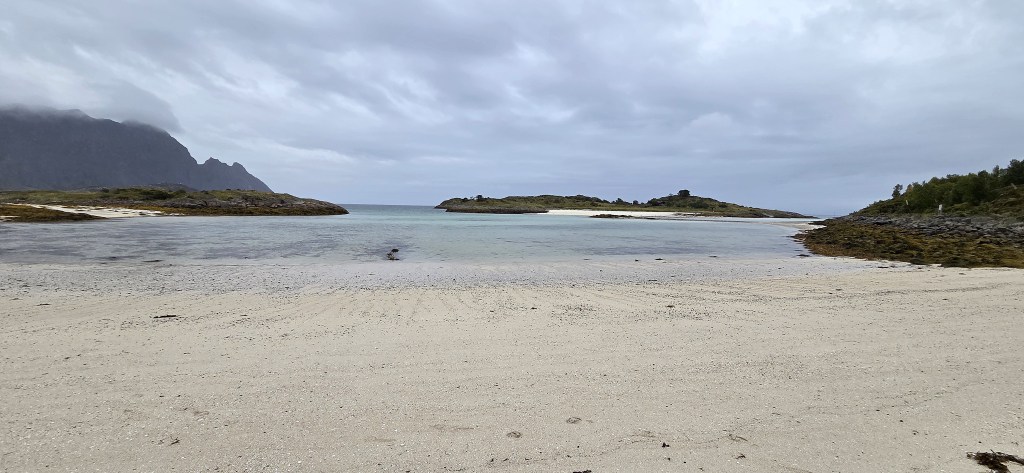
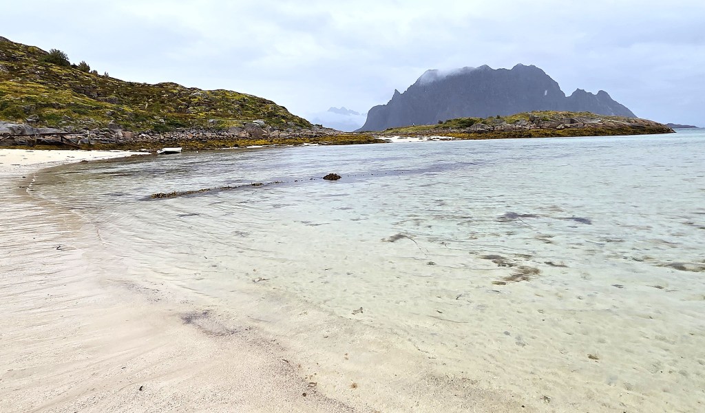
We made our way along the trail to Hattvika, on Skrova’s eastern coast. This lies immediately opposite the small neighbouring island of Sandøya, which has its own sandy beach, Sandøyhalsen. The beach at Hattvika is also known as Socks Beach.
I sat down to remove my boots and socks for a quick paddle, only to discover that I was uncomfortably close to a jellyfish.
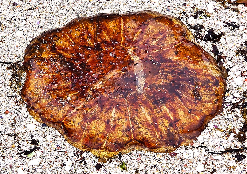
I dipped my toes briefly in the freezing water, marvelling at the one member of our group who immersed himself, having found the water too shallow for a swim.
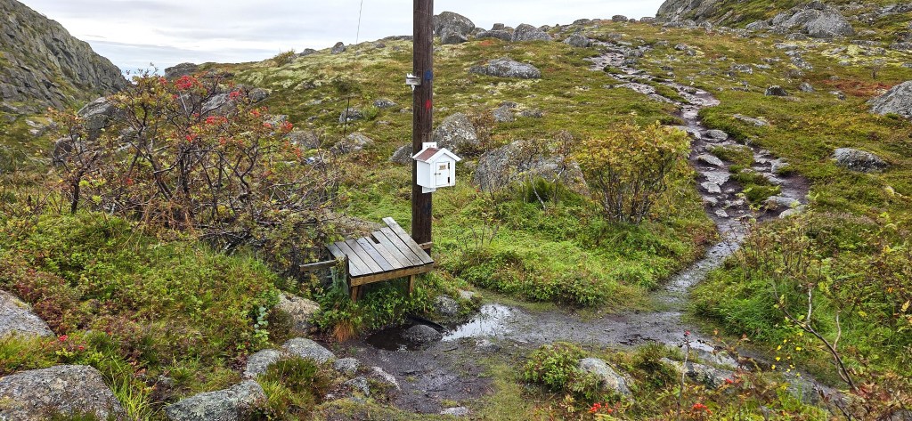
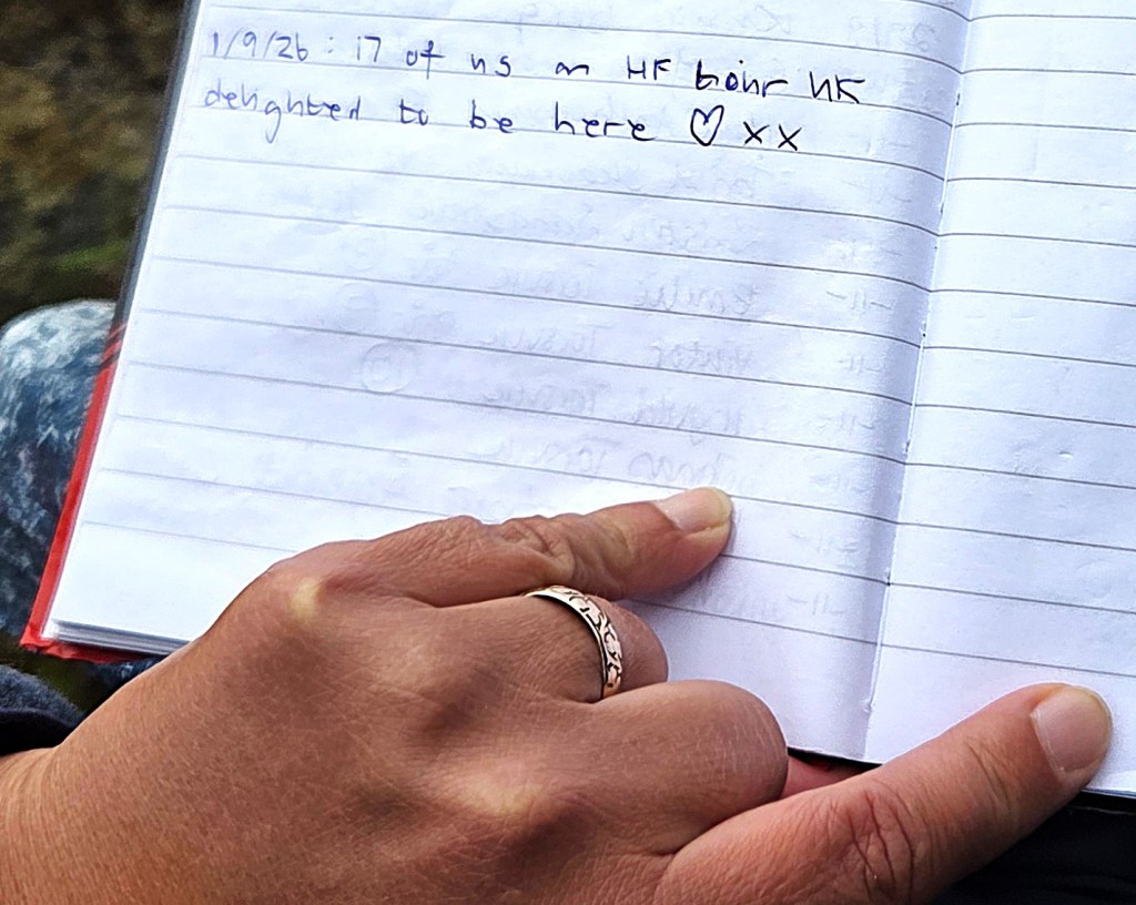
Retracing our steps, we followed a second trail southwards. At one point we passed a small white letterbox attached to a post. Inside, we found a visitors’ book and Tracy added our own brief message.
As we continued south towards Merrivika Bay, the ground grew steadily boggier; the rocks more slippery. There were a few slips and falls as we all tried our best not to become the next casualty.
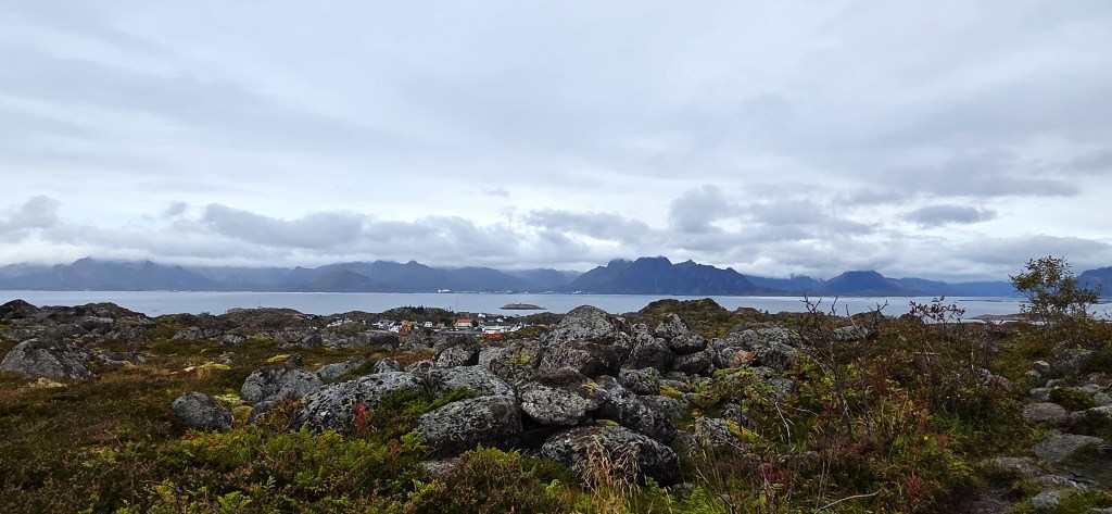
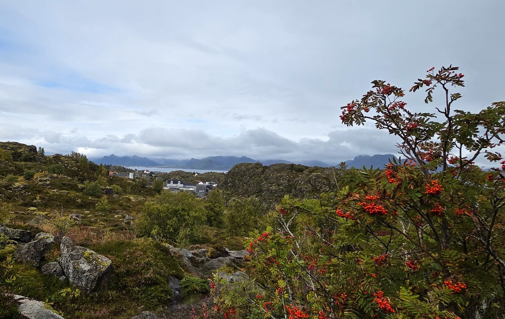
The mosses, ferns and berries occasionally combined to create a beautiful display of colour.

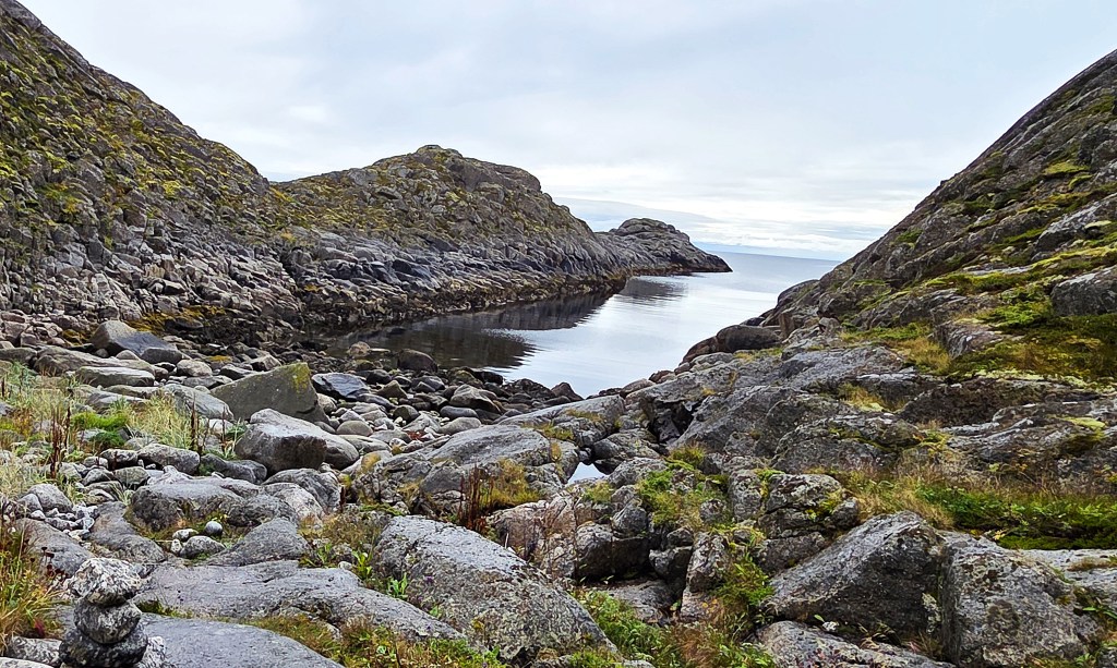
Merrivika was a tranquil spot. We stopped for a coffee break and were joined by a solitary young Frenchwoman, who asked directions back to the Village.
We retraced our steps again, making our way to another photographic exhibition, this time permanent, located in a disused tunnel above the Village.
It contains one hundred images of life in Northern Norway, taken from 1890 to 1985.
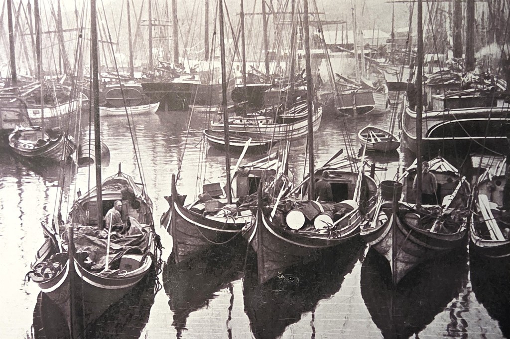
Three photographers are represented: Nicolai Marcelius Helgesen (1854-1936); Anders Beer Wilse (1865-1949); and Sven-Ivarr Carlsson (1929-2004). I also found some of these particularly evocative.
Emerging from the gloom, we made our way back to the centre of the Village, sitting on a picnic bench next to the small fisherman’s wife.
Some of the others went off to explore the local Co-op.
The young Frenchwoman was already sitting on the bench. I wanted to tell her how brave I thought her, to have come so far on her own, and to be exploring alone, but I decided it would sound either too patronising or too creepy.
As we sat, eating the remains of our picnic lunches, a woman, dressed all in black with a black hat, took a strimmer to the grass in her front garden.
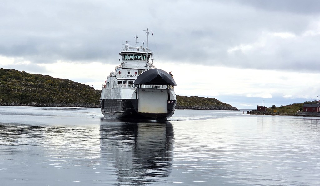
Then the ferry arrived. It also had its bow door open before it had fully docked. A full Lopack lorry trundled aboard.
We were back at the Hotel in time to get some packing done. Then we wandered out for a quick tour of the souvenir shops though, as ever, most of the souvenirs looked cheap, yet were exceedingly expensive.
I discovered that I had been bitten or stung by something unpleasant, having acquired a large swelling on the side of my head.
Day 8: Home
We had to leave the Hotel at 06:45, before breakfast, but were given ‘packed breakfasts’, mine consisting of a sandwich, a yoghurt and an apple.
I added a take-out coffee from the Hotel, reassured by the fact that our driver had also made himself one.
We began the lengthy return trip to the Airport, stopping at the same rest area for a toilet break. The traffic lights at the various roadworks were rather quicker to change than they had been on the outward journey.
We had already reserved seats for our flights on the SAS app, but were unable to secure boarding passes until we had scanned our passports at Narvik Airport.
After security, we bought pre-packed Danish pastries and machine-made coffee and sat, awaiting our first flight. On this return journey, we were transferring at Copenhagen, which seemed odd.
Another long walk was necessary to execute the transfer but, fortunately, we had over two hours this time.
Our London flight departed on time, but reached Heathrow early, so had to circle for a while. We reclaimed our luggage, saying goodbye to others in our party, as well as Kevin, our surviving guide.
Then it was home via Superloop, with pizza and coleslaw for dinner…I find it hard to go without coleslaw for a week.
It had been a slightly odd holiday: amazing scenery; middling weather; a much curtailed walking programme; and, above all, a serious injury to one of our guides.
I very much enjoyed our time in Lofoten, but can’t help feeling that, though undoubtedly worthwhile, it might have been a substantively better experience.
Then again, it seems churlish to complain when I am in one piece, while our injured guide faces an extended convalescence, all the while denied the pleasure of walking in some of the world’s most beautiful locations.
TD
September 2026




Leave a comment